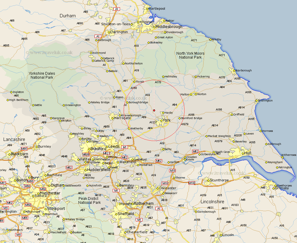
Yorkshire Map Showing Location of Shipton
Population: 691
District: Hambleton
Easting: 455666 Northing: 460056
Latitude: 54.03 Longitude: -1.15
 = Shipton
District: Hambleton
Easting: 455666 Northing: 460056
Latitude: 54.03 Longitude: -1.15
= Shipton
This Shipton map below is supplied by Google. Use the tools in the top left corner to zoom into street level or zoom out for a road map, you may also need to zoom in to see Shipton on the map. Click and drag the map to move around. If the map fails to load try and refresh your browser or zoom in or out (+ or -).
Update - it seems Google no longer allow people to use their maps for free! This Shipton map sometimes loads and sometimes gives a error. I am working on a solution.
Closest 30 Towns or Cities to Shipton (Population over 500)
Skelton 3.86km Newton upon Ouse 4.35km Newton 4.35km Huby 5.67km Tollerton 5.72km Wigginton 5.75km Haxby 5.75km Linton-on-Ouse 6.53km Linton upon Ouse 6.53km Linton 6.53km Linton on Ouse 6.53km Upper Poppleton 7.41km Poppleton 7.41km Huntington 7.51km Earswick 7.51km Stillington 7.73km Alne 7.78km New Earswick 7.78km Strensall 7.84km Clifton 8.09km York 8.59km Rufforth 9.82km Easingwold 9.83km Green Hammerton 10.48km Long Marston 10.75km Ouseburn 11.04km Great Ouseburn 11.04km Whixley 11.04km Sheriff Hutton 11.26km Hammerton 11.27km