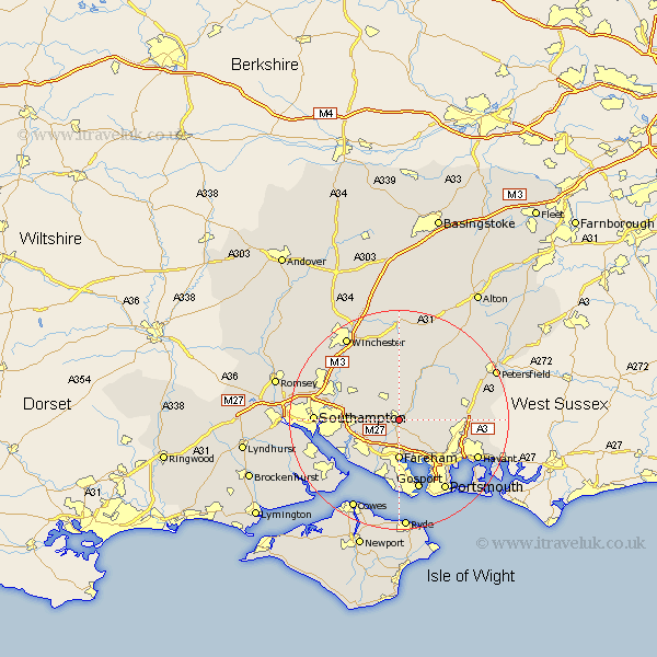
Hampshire Map Showing Location of Shedfield
Population: 3914
District: Winchester
Easting: 457402 Northing: 113405
Latitude: 50.92 Longitude: -1.18
 = Shedfield
District: Winchester
Easting: 457402 Northing: 113405
Latitude: 50.92 Longitude: -1.18
= Shedfield
This Shedfield map below is supplied by Google. Use the tools in the top left corner to zoom into street level or zoom out for a road map, you may also need to zoom in to see Shedfield on the map. Click and drag the map to move around. If the map fails to load try and refresh your browser or zoom in or out (+ or -).
Update - it seems Google no longer allow people to use their maps for free! This Shedfield map sometimes loads and sometimes gives a error. I am working on a solution.
Closest 30 Towns or Cities to Shedfield (Population over 500)
Waltham Chase 1.17km Swanmore 2.19km Wickham 2.19km Soberton 3.96km Bishops Waltham 4.38km Bishop's Waltham 4.38km Curbridge 4.67km Curdridge 4.67km Droxford 5.1km Botley 5.84km Durley 5.96km Corhampton 6.57km Upham 6.57km Southwick 7.26km Fareham 7.42km Hambledon 8.18km Bursledon 9.89km Porchester 10.39km Portchester 10.39km West End 10.52km Locks Heath 10.55km Owslebury 10.95km Ashurst 11.7km Bishopstoke 11.89km Netley Marsh 11.9km Netley 11.9km Hamble 11.94km Hample 11.94km East Meon 12.85km Eastleigh 12.93km