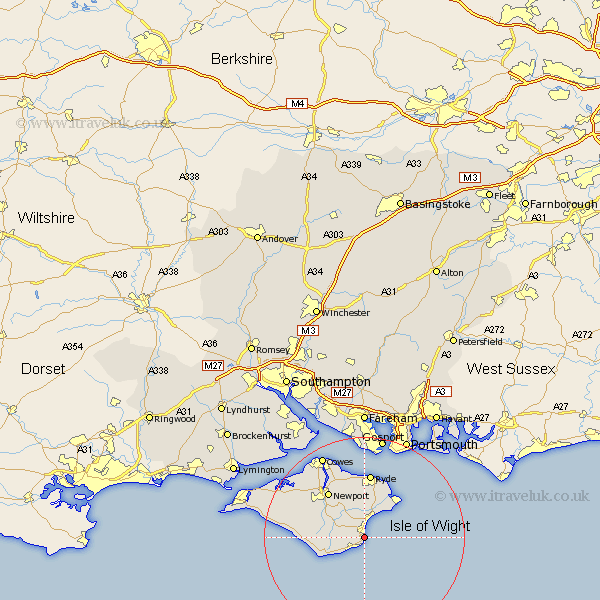
Hampshire Map Showing Location of Shanklin
Population: 19862
Area Size (ha): 544
Easting: 457770 Northing: 80048
Latitude: 50.62 Longitude: -1.18
 = Shanklin
Area Size (ha): 544
Easting: 457770 Northing: 80048
Latitude: 50.62 Longitude: -1.18
= Shanklin
This Shanklin map below is supplied by Google. Use the tools in the top left corner to zoom into street level or zoom out for a road map, you may also need to zoom in to see Shanklin on the map. Click and drag the map to move around. If the map fails to load try and refresh your browser or zoom in or out (+ or -).
Update - it seems Google no longer allow people to use their maps for free! This Shanklin map sometimes loads and sometimes gives a error. I am working on a solution.
Closest 30 Towns or Cities to Shanklin (Population over 500)
Jentnor 1.86km Ventnor 1.86km Wroxall 3km Sandown 4.39km Godshill 4.7km Newchurch 5.68km Arreton 7.28km Brading 7.77km Rookley 7.97km Niton 7.98km Chale 10.12km Bembridge 10.23km St Helens 10.39km Saint Helens 10.39km St. Helens 10.39km Newport 11.64km Wootton 11.66km Shorwell 11.9km Seaview 12.58km Ryde 13.02km Brighstone 14.23km Brightstone 14.23km Northwood 16.01km Calbourne 16.26km East Cowes 16.95km Gurnard 17.55km Shalfleet 17.86km Cowes 18.59km Southsea 20.27km Lee on Solent 20.42km