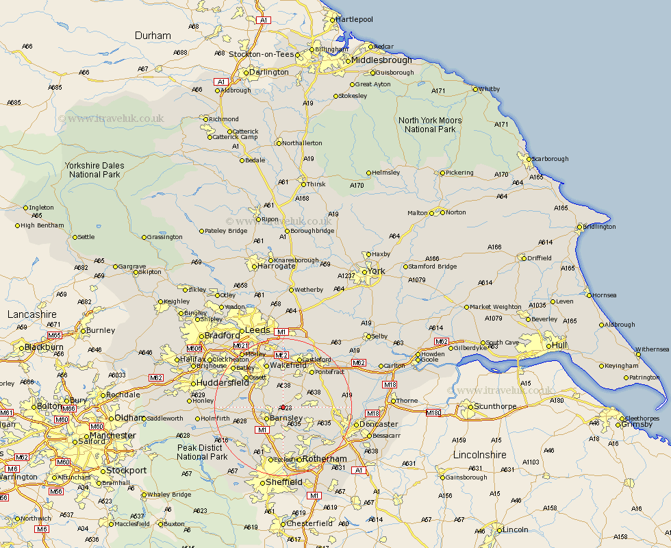
Yorkshire Map Showing Location of Shafton
Population: 2840
District: Barnsley
Easting: 438613 Northing: 409819
Latitude: 53.58 Longitude: -1.42
 = Shafton
District: Barnsley
Easting: 438613 Northing: 409819
Latitude: 53.58 Longitude: -1.42
= Shafton
This Shafton map below is supplied by Google. Use the tools in the top left corner to zoom into street level or zoom out for a road map, you may also need to zoom in to see Shafton on the map. Click and drag the map to move around. If the map fails to load try and refresh your browser or zoom in or out (+ or -).
Update - it seems Google no longer allow people to use their maps for free! This Shafton map sometimes loads and sometimes gives a error. I am working on a solution.
Closest 30 Towns or Cities to Shafton (Population over 500)
Cudworth 1.85km Royston 2.88km Ryhill 3.87km Notton 4.77km Hemsworth 4.78km Little Houghton 4.96km Barnsley 5.75km Houghton 5.75km Great Houghton 5.75km Fitzwilliam 5.98km Darsfield 5.98km Darfield 5.98km Woolley 6.86km Crofton 7.42km Wombwell 7.49km Darton 7.7km Moorthorpe 7.7km South Kirkby 8.37km Badsworth 8.55km Worsbrough 8.62km Worsborough 8.62km South Elmsall 8.8km High Ackworth 9.23km Ackworth Moor Top 9.23km Ackworth 9.23km Crigglestone 9.49km Dodworth 9.5km Dearne 9.5km Hoyland Nether 9.52km Hoyland 9.52km