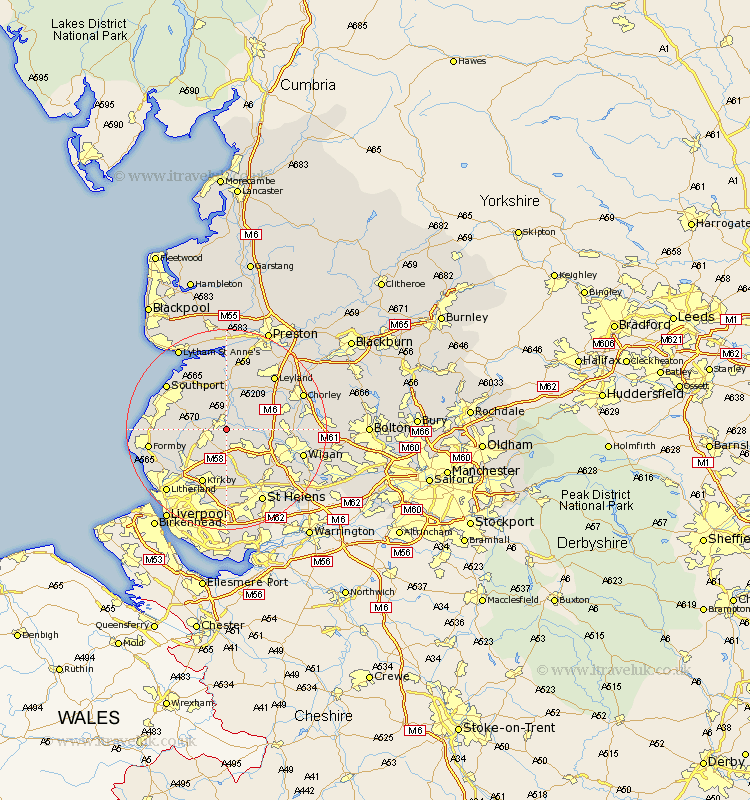
Lancashire Map Showing Location of Burscough
Population: 8968
District: West Lancashire
Easting: 344837 Northing: 409987
Latitude: 53.58 Longitude: -2.83
 = Burscough
District: West Lancashire
Easting: 344837 Northing: 409987
Latitude: 53.58 Longitude: -2.83
= Burscough
This Burscough map below is supplied by Google. Use the tools in the top left corner to zoom into street level or zoom out for a road map, you may also need to zoom in to see Burscough on the map. Click and drag the map to move around. If the map fails to load try and refresh your browser or zoom in or out (+ or -).
Update - it seems Google no longer allow people to use their maps for free! This Burscough map sometimes loads and sometimes gives a error. I am working on a solution.
Closest 30 Towns or Cities to Burscough (Population over 500)
Lathom 2.15km Rufford 3.71km Parbold 4.4km Ormskirk 4.77km Mawdesley 5.75km Skelmersdale 5.98km Scarisbrick 6.86km Bickerstaffe 7.41km Halsall 7.7km Rainford 7.73km Aughton 7.83km Appley Bridge 7.92km Croston 8.62km Tarleton 9.27km Eccleston 9.49km Bretherton 9.53km Penrith 9.92km Shevington 10.07km Maghull 10.69km Standish 11km Lydiate 11.51km Kirkby 11.96km Banks 12.4km Melling 12.41km Coppull 12.65km Sefton 12.79km Billinge 12.79km Hoole 13.16km Much Hoole 13.16km Euxton 13.26km