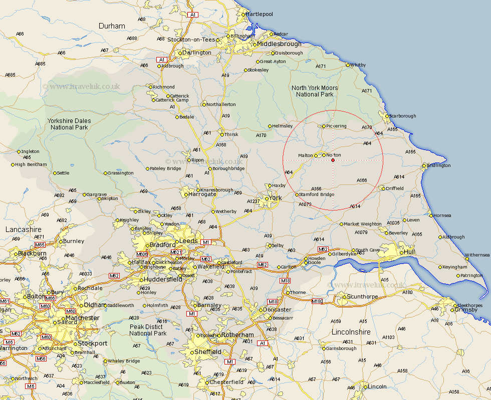
Yorkshire Map Showing Location of Settrington
Population: 339
District: Ryedale
Easting: 483876 Northing: 469761
Latitude: 54.12 Longitude: -0.72
 = Settrington
District: Ryedale
Easting: 483876 Northing: 469761
Latitude: 54.12 Longitude: -0.72
= Settrington
This Settrington map below is supplied by Google. Use the tools in the top left corner to zoom into street level or zoom out for a road map, you may also need to zoom in to see Settrington on the map. Click and drag the map to move around. If the map fails to load try and refresh your browser or zoom in or out (+ or -).
Update - it seems Google no longer allow people to use their maps for free! This Settrington map sometimes loads and sometimes gives a error. I am working on a solution.
Closest 30 Towns or Cities to Settrington (Population over 500)
Rillington 3.86km Norton 3.94km Malton 6.36km Yedingham 11.32km Thornton-le-Dale 12.97km Thornton Dale 12.97km Slingsby 13.55km Snainton 14.11km Sherburn 14.16km Pickering 15.18km Brompton 15.54km Wetwang 16.25km Terrington 16.29km Fangfoss 18.34km Great Driffield 18.56km Sheriff Hutton 18.84km Willerby 18.88km Stamford Bridge 19.76km Pocklington 20.51km Barmby-on-the-Moor 21.41km Barmby 21.41km Barmby on the Moor 21.41km Wilberfoss 21.5km Nawton 21.66km Kirby Moorside 21.84km Kirkby Moorside 21.84km Strensall 21.95km Driffield 22.17km Seamer 22.54km North Frodingham 22.59km