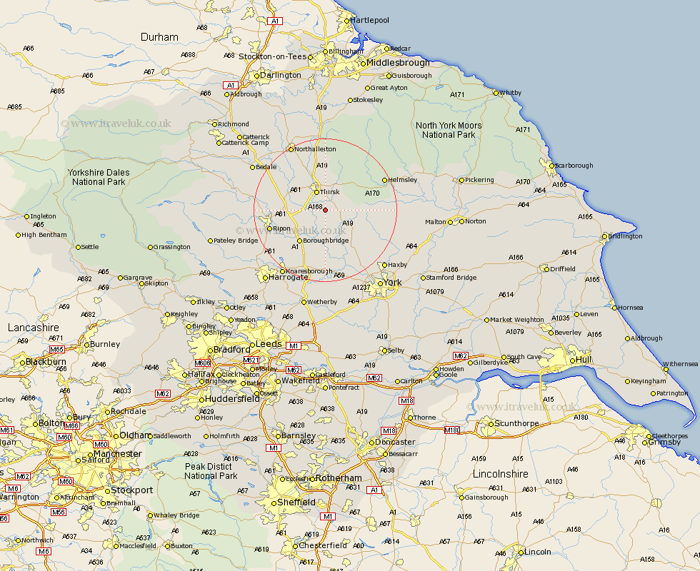
Yorkshire Map Showing Location of Sessay
Population: 311
District: Hambleton
Easting: 445696 Northing: 474789
Latitude: 54.17 Longitude: -1.3
 = Sessay
District: Hambleton
Easting: 445696 Northing: 474789
Latitude: 54.17 Longitude: -1.3
= Sessay
This Sessay map below is supplied by Google. Use the tools in the top left corner to zoom into street level or zoom out for a road map, you may also need to zoom in to see Sessay on the map. Click and drag the map to move around. If the map fails to load try and refresh your browser or zoom in or out (+ or -).
Update - it seems Google no longer allow people to use their maps for free! This Sessay map sometimes loads and sometimes gives a error. I am working on a solution.
Closest 30 Towns or Cities to Sessay (Population over 500)
Raskelf 4.94km Topcliffe 5.73km Thirsk 5.97km Dishforth 7.82km Easingwold 8.56km Alne 10.24km Boroughbridge 11.33km Marton le Moor 11.94km Marton 11.94km Tollerton 12.38km Ampleforth 12.49km Ouseburn 13.02km Great Ouseburn 13.02km Stillington 14.06km Huby 14.28km Ripon 15.17km Linton 15.19km Linton upon Ouse 15.19km Linton on Ouse 15.19km Linton-on-Ouse 15.19km Newton 15.8km Newton upon Ouse 15.8km Monkton 15.99km Bishop Monkton 15.99km Whixley 16.71km Burton Leonard 17.13km Tanfield 17.74km West Tanfield 17.74km Shipton 17.77km Helmsley 17.78km