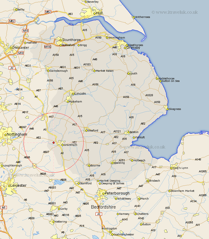
Lincolnshire Map Showing Location of Sedgebrook
Population: 372
District: South Kesteven
Easting: 486280 Northing: 336281
Latitude: 52.92 Longitude: -0.72
 = Sedgebrook
District: South Kesteven
Easting: 486280 Northing: 336281
Latitude: 52.92 Longitude: -0.72
= Sedgebrook
This Sedgebrook map below is supplied by Google. Use the tools in the top left corner to zoom into street level or zoom out for a road map, you may also need to zoom in to see Sedgebrook on the map. Click and drag the map to move around. If the map fails to load try and refresh your browser or zoom in or out (+ or -).
Update - it seems Google no longer allow people to use their maps for free! This Sedgebrook map sometimes loads and sometimes gives a error. I am working on a solution.
Closest 30 Towns or Cities to Sedgebrook (Population over 500)
Allington 1.85km Barrowby 2.91km Great Gonerby 3.35km Grantham 5.89km Long Bennington 5.99km Harlaxton 5.99km Belton 8.04km Claypole 13.01km Ancaster 13.48km Caythorpe 13.59km Ropsley 13.92km Colsterworth 14.61km Fulbeck 15.74km Corby 18.67km South Witham 19.72km Welbourn 20.07km Cranwell 21.17km Folkingham 21.96km Sleaford 22.24km Bassingham 22.93km Heasingham 22.96km Leasingham 22.96km Wellingore 23.79km Castle Bytham 23.82km Brauncewell 24.07km Navenby 24.38km Buskington 25.81km Ruskington 25.81km Swinderby 25.97km Billingborough 25.98km