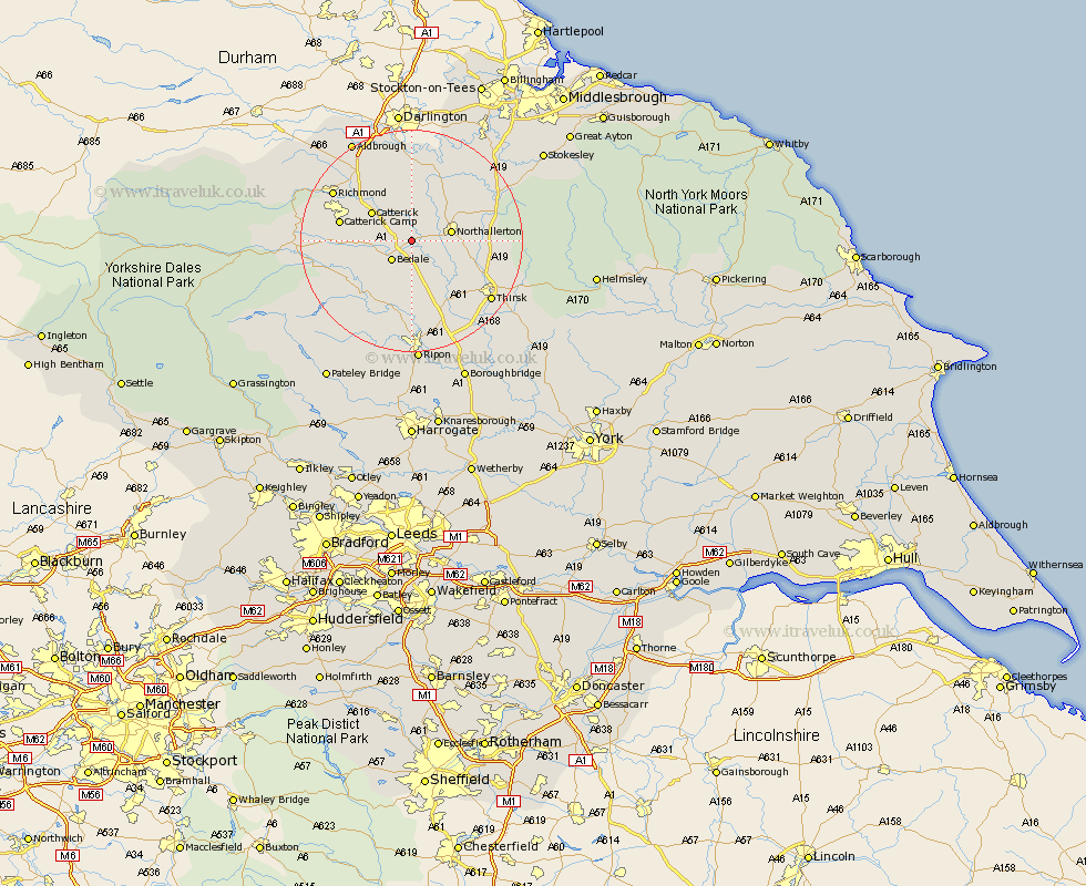
Yorkshire Map Showing Location of Scruton
Population: 442
District: Hambleton
Easting: 430354 Northing: 491352
Latitude: 54.32 Longitude: -1.53
 = Scruton
District: Hambleton
Easting: 430354 Northing: 491352
Latitude: 54.32 Longitude: -1.53
= Scruton
This Scruton map below is supplied by Google. Use the tools in the top left corner to zoom into street level or zoom out for a road map, you may also need to zoom in to see Scruton on the map. Click and drag the map to move around. If the map fails to load try and refresh your browser or zoom in or out (+ or -).
Update - it seems Google no longer allow people to use their maps for free! This Scruton map sometimes loads and sometimes gives a error. I am working on a solution.
Closest 30 Towns or Cities to Scruton (Population over 500)
Bedale 4.93km Crakehall 5.72km Northallerton 6.74km Brompton 8.42km Catterick 8.54km Scorton 8.57km North Cowton 9.32km Cowton 11.12km East Cowton 11.12km Tanfield 13.16km West Tanfield 13.16km Masham 13.46km Richmond 15.93km Osmotherley 16.11km Middleton Tyas 16.64km Grewelthorpe 16.66km Thirsk 17.1km Gilling 17.58km Topcliffe 17.75km Barton 18.31km Kirkby Malzeard 18.32km Leyburn 18.47km Middleham 18.76km Dishforth 20.03km Melsonby 20.91km Whorlton 21.46km Ripon 22.27km Middleton 24km Middleton upon Leven 24km Bishop Monkton 26.04km