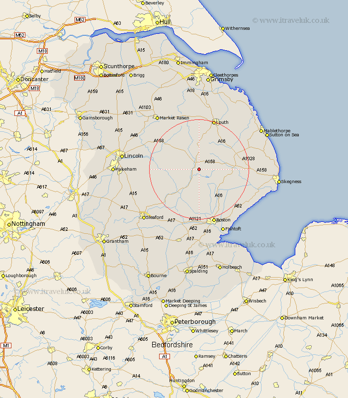
Lincolnshire Map Showing Location of Scrivelsby
Population: 36
District: East Lindsey
Easting: 526950 Northing: 366850
Latitude: 53.18 Longitude: -0.1
 = Scrivelsby
District: East Lindsey
Easting: 526950 Northing: 366850
Latitude: 53.18 Longitude: -0.1
= Scrivelsby
This Scrivelsby map below is supplied by Google. Use the tools in the top left corner to zoom into street level or zoom out for a road map, you may also need to zoom in to see Scrivelsby on the map. Click and drag the map to move around. If the map fails to load try and refresh your browser or zoom in or out (+ or -).
Update - it seems Google no longer allow people to use their maps for free! This Scrivelsby map sometimes loads and sometimes gives a error. I am working on a solution.
Closest 30 Towns or Cities to Scrivelsby (Population over 500)
Banovallum 2.16km Horncastle 2.16km Mareham 2.22km Mareham-on-the-Hill 2.22km Mareham on the Hill 2.22km Woodhall Spa 8.61km Coningsby 8.64km Tattershall 11.41km Carrington 11.61km Spilsby 13.33km Stickney 13.57km Bardney 14.9km Billinghay 16.53km Martin 17.23km Frithville 17.26km Wragby 17.34km Sibsey 18.41km Legbourne 19.44km Holton 20.24km Alford 20.27km Willoughby 20.32km Dunston 20.34km Metheringham 20.76km Digby 20.98km Potter Hanworth 21.1km Louth 21.13km Nocton 21.19km Scopwick 22.05km Wrangle 22.08km Brothertoft 22.24km