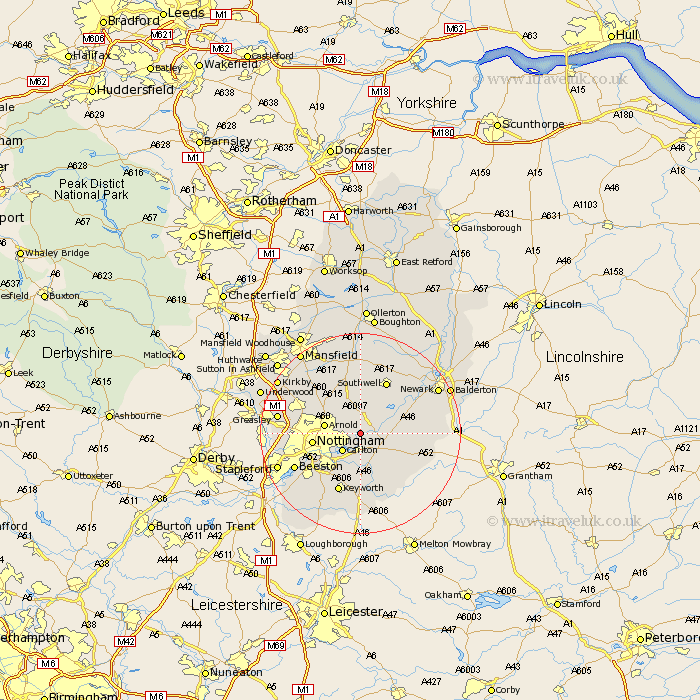
Nottinghamshire Map Showing Location of Burton Joyce
Population: 3782
Area Size (ha): 143
District: Gedling
Easting: 464891 Northing: 343359
Latitude: 52.98 Longitude: -1.03
 = Burton Joyce
Area Size (ha): 143
District: Gedling
Easting: 464891 Northing: 343359
Latitude: 52.98 Longitude: -1.03
= Burton Joyce
This Burton Joyce map below is supplied by Google. Use the tools in the top left corner to zoom into street level or zoom out for a road map, you may also need to zoom in to see Burton Joyce on the map. Click and drag the map to move around. If the map fails to load try and refresh your browser or zoom in or out (+ or -).
Update - it seems Google no longer allow people to use their maps for free! This Burton Joyce map sometimes loads and sometimes gives a error. I am working on a solution.
Closest 30 Towns or Cities to Burton Joyce (Population over 500)
Shelford 2.16km Lambley 2.23km Woodborough 4.33km Colwick 5km Carlton 5km Radcliffe on Trent 5.56km Radcliffe 5.56km Radcliffe-on-Trent 5.56km East Bridgford 5.88km Calverton 6.49km Claverton 6.49km Arnold 6.94km Oxton 7.74km Bingham 7.88km Tollerton 8.13km Cropwell 8.13km Cropwell Butler 8.13km Bleasby 8.7km Flintham 8.93km Nottingham 9.12km Nottigham 9.12km Cotgrave 9.27km West Bridgford 9.28km West Bridgeford 9.28km Cropwell Bishop 9.85km Aslocton 11.48km Aslockton 11.48km Fiskerton 11.6km Fiskerton Ferry 11.6km Elston 11.75km