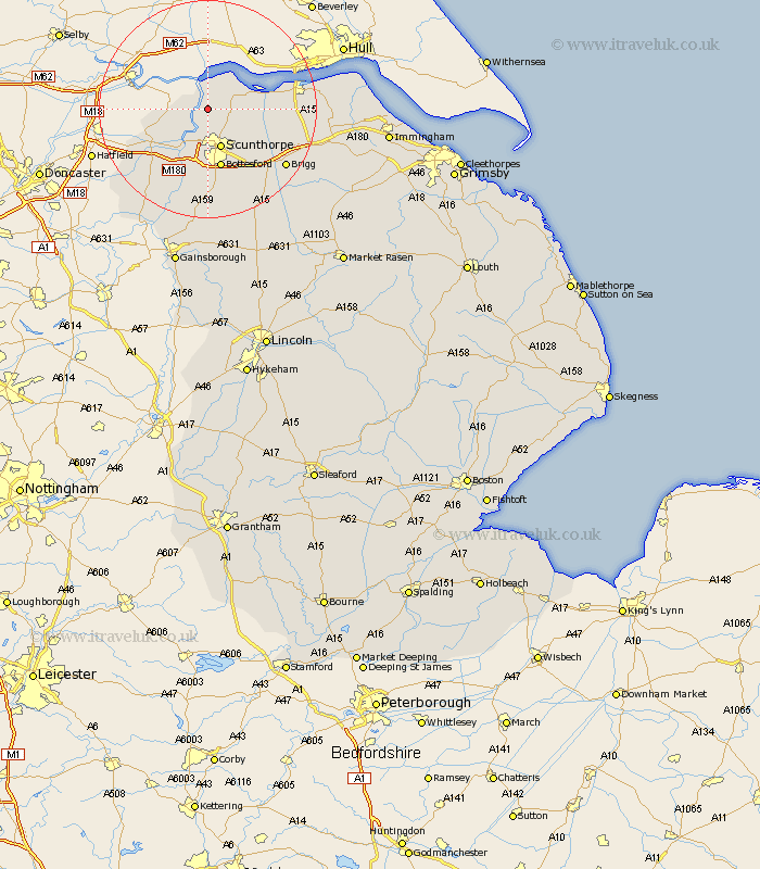
Lincolnshire Map Showing Location of Burton
Population: 2635
Area Size (ha): 7
Easting: 487018 Northing: 417886
Latitude: 53.65 Longitude: -0.68
 = Burton
Area Size (ha): 7
Easting: 487018 Northing: 417886
Latitude: 53.65 Longitude: -0.68
= Burton
This Burton map below is supplied by Google. Use the tools in the top left corner to zoom into street level or zoom out for a road map, you may also need to zoom in to see Burton on the map. Click and drag the map to move around. If the map fails to load try and refresh your browser or zoom in or out (+ or -).
Update - it seems Google no longer allow people to use their maps for free! This Burton map sometimes loads and sometimes gives a error. I am working on a solution.
Closest 30 Towns or Cities to Burton (Population over 500)
Burton 0km Burton upon Stather 0km Flixborough 3.7km Winterton 5.49km Keadby 6.46km Winteringham 6.62km Scunthorpe 7.73km Gunness 8.12km Gunhouse 8.12km Appleby 8.54km Burringham 10.25km Crowle 10.4km Bottesford 11.34km West Butterwick 11.96km South Ferriby 12.22km Broughton 12.77km Messingham 13.16km Belton 14.18km Scawby 16.32km Wrawby 17.03km Epworth 17.24km Brigg 17.26km Scotter 18.57km Owston 19.34km Owston Ferry 19.34km Hibaldstow 19.4km Barrow upon Humber 20.11km Barrow 20.11km Barrow-on-Humber 20.11km Barrow-upon-Humber 20.11km