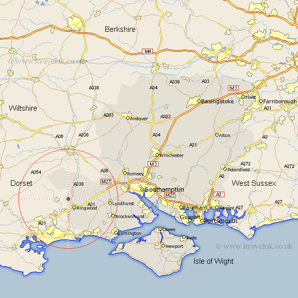
Hampshire Map Showing Location of Sandleheath
Population: 663
District: New Forest
Easting: 412895 Northing: 109389
Latitude: 50.88 Longitude: -1.82
 = Sandleheath
District: New Forest
Easting: 412895 Northing: 109389
Latitude: 50.88 Longitude: -1.82
= Sandleheath
This Sandleheath map below is supplied by Google. Use the tools in the top left corner to zoom into street level or zoom out for a road map, you may also need to zoom in to see Sandleheath on the map. Click and drag the map to move around. If the map fails to load try and refresh your browser or zoom in or out (+ or -).
Update - it seems Google no longer allow people to use their maps for free! This Sandleheath map sometimes loads and sometimes gives a error. I am working on a solution.
Closest 30 Towns or Cities to Sandleheath (Population over 500)
Sandleheath 0km Ibsley 2.34km Ringwood 4.38km Fordingbridge 5.68km Damerham 6.03km South Damerham 6.03km Hale 9.44km Burley 11.04km Bransgore 12.57km Sopley 13.17km Bramshaw 15.09km Minstead 15.2km Lyndhurst 16.48km Cadnam 16.78km West Wellow 18.8km Sway 18.85km Brockenhurst 19.05km Sherfield English 19.77km New Milton 20.38km Milton 20.38km Hordle 21.25km Barton-on-Sea 21.31km Barton 21.31km Barton on Sea 21.31km Eling 23.45km Milford 23.61km Milford-on-Sea 23.61km Milford on Sea 23.61km Totton 23.67km Boldre 23.75km