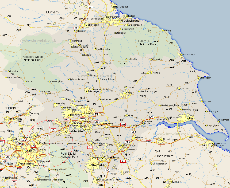
Yorkshire Map Showing Location of Saddleworth
Population: 24351
District: Oldham
Easting: 401104 Northing: 405956
Latitude: 53.55 Longitude: -1.98
 = Saddleworth
District: Oldham
Easting: 401104 Northing: 405956
Latitude: 53.55 Longitude: -1.98
= Saddleworth
This Saddleworth map below is supplied by Google. Use the tools in the top left corner to zoom into street level or zoom out for a road map, you may also need to zoom in to see Saddleworth on the map. Click and drag the map to move around. If the map fails to load try and refresh your browser or zoom in or out (+ or -).
Update - it seems Google no longer allow people to use their maps for free! This Saddleworth map sometimes loads and sometimes gives a error. I am working on a solution.
Closest 30 Towns or Cities to Saddleworth (Population over 500)
Meltham 9.55km Holme 9.91km Ripponden 13.16km Honley 13.32km Holmfirth 14.31km Dunford Bridge 15.86km Huddersfield 17.26km Elland 17.82km Shepley 17.99km Mytholmroyd 18.54km Luddenden Foot 18.83km Kirkburton 19.51km Todmorden 19.67km Halifax 20.52km Shelley 20.57km Denby Dale 21km Brighouse 21.26km Heptonstall 22.35km Hebden Bridge 22.35km Cornholme 23.16km Mirfield 23.67km Emley 24.26km Queensbury 24.49km Penistone 24.51km Liversedge 25.05km Cleckheaton 25.55km Stocksbridge 26.41km Cawthorne 26.48km Denholme 26.52km Heckmondwike 26.73km