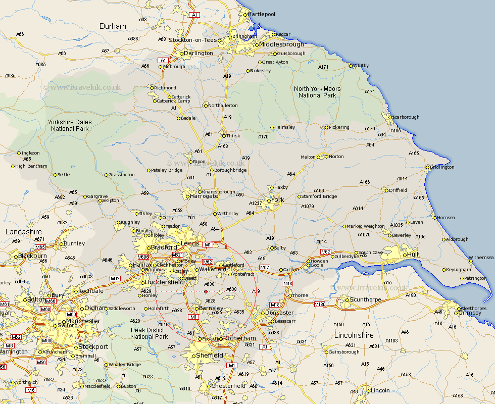
Yorkshire Map Showing Location of Ryhill
Population: 4570
Area Size (ha): 90
District: Wakefield
Easting: 437481 Northing: 413525
Latitude: 53.62 Longitude: -1.43
 = Ryhill
Area Size (ha): 90
District: Wakefield
Easting: 437481 Northing: 413525
Latitude: 53.62 Longitude: -1.43
= Ryhill
This Ryhill map below is supplied by Google. Use the tools in the top left corner to zoom into street level or zoom out for a road map, you may also need to zoom in to see Ryhill on the map. Click and drag the map to move around. If the map fails to load try and refresh your browser or zoom in or out (+ or -).
Update - it seems Google no longer allow people to use their maps for free! This Ryhill map sometimes loads and sometimes gives a error. I am working on a solution.
Closest 30 Towns or Cities to Ryhill (Population over 500)
Royston 2.16km Fitzwilliam 3.78km Notton 3.79km Crofton 3.86km Shafton 3.87km Cudworth 5.67km Hemsworth 5.8km Woolley 5.8km Crigglestone 6.85km Ackworth 7.56km Ackworth Moor Top 7.56km High Ackworth 7.56km Darton 7.57km Barnsley 8.12km Little Houghton 8.62km Badsworth 8.79km Bretton 8.79km West Bretton 8.79km Houghton 9.23km Great Houghton 9.23km Normanton 9.33km Horbury 9.49km Moorthorpe 9.55km Wakefield 9.83km Stanley 9.83km Darfield 9.84km Darsfield 9.84km Upton 9.89km South Kirkby 10.13km Featherstone 10.25km