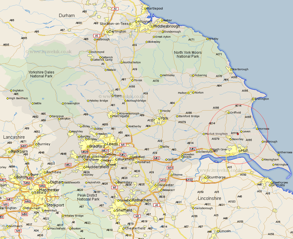
Yorkshire Map Showing Location of Routh
Population: 94
Easting: 508486 Northing: 442449
Latitude: 53.87 Longitude: -0.35
 = Routh
Easting: 508486 Northing: 442449
Latitude: 53.87 Longitude: -0.35
= Routh
This Routh map below is supplied by Google. Use the tools in the top left corner to zoom into street level or zoom out for a road map, you may also need to zoom in to see Routh on the map. Click and drag the map to move around. If the map fails to load try and refresh your browser or zoom in or out (+ or -).
Update - it seems Google no longer allow people to use their maps for free! This Routh map sometimes loads and sometimes gives a error. I am working on a solution.
Closest 30 Towns or Cities to Routh (Population over 500)
Tickton 2.19km Leven 2.86km Beverley 5.74km Woodmansey 5.98km Brandesburton 6.45km Brandsburton 6.45km Leconfield 6.56km Leckonfield 6.56km Wawne 7.42km Skirlaugh Station 8.6km Lockington 9.49km Cottingham 9.53km Sutton-on-Hull 9.53km Sutton on Hull 9.53km Sutton 9.53km Cherry Burton 9.83km Bishop Burton 10.52km Cranswick 10.75km Dunnington 11.35km Skidby 12.03km Hull 12.28km Beeford 12.39km Hornsea 12.57km Willerby 12.91km North Frodingham 14.14km Skipsea 14.14km Sproatley 14.34km Kirk Ella 14.54km Preston 14.85km Anlaby 15.81km