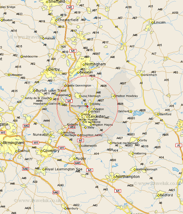
Leicestershire Map Showing Location of Rothley
Population: 3612
District: Charnwood
Easting: 458558 Northing: 311759
Latitude: 52.7 Longitude: -1.13
 = Rothley
District: Charnwood
Easting: 458558 Northing: 311759
Latitude: 52.7 Longitude: -1.13
= Rothley
This Rothley map below is supplied by Google. Use the tools in the top left corner to zoom into street level or zoom out for a road map, you may also need to zoom in to see Rothley on the map. Click and drag the map to move around. If the map fails to load try and refresh your browser or zoom in or out (+ or -).
Update - it seems Google no longer allow people to use their maps for free! This Rothley map sometimes loads and sometimes gives a error. I am working on a solution.
Closest 30 Towns or Cities to Rothley (Population over 500)
Rothley 0km Mountsorrel 2.17km Sileby 2.91km Barrow upon Soar 3.87km Barrow 3.87km Birstall 3.87km Quorndon 4.33km Woodhouse 4.86km Syston 4.86km Ansty 6.5km Anstey 6.5km Rearsby 6.99km Queniborough 6.99km Queniboro 6.99km Leicester 7.42km Leiscester 7.42km Burton-on-the-Wolds 7.5km Burton on the Wolds 7.5km Burton 7.5km Loughborough 8.67km Wimeswould 9.53km Wymeswold 9.53km Hoby 9.71km Markfield 10.77km Kirby Muxloe 10.83km Gaddesby 11.23km Braunstone 11.34km Frisby-on-the-Wreak 11.82km Frisby 11.82km Frisby on the Wreak 11.82km