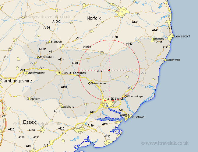
Suffolk Map Showing Location of Rishangles
Population: 84
District: Mid Suffolk
Easting: 616051 Northing: 267938
Latitude: 52.27 Longitude: 1.17
 = Rishangles
District: Mid Suffolk
Easting: 616051 Northing: 267938
Latitude: 52.27 Longitude: 1.17
= Rishangles
This Rishangles map below is supplied by Google. Use the tools in the top left corner to zoom into street level or zoom out for a road map, you may also need to zoom in to see Rishangles on the map. Click and drag the map to move around. If the map fails to load try and refresh your browser or zoom in or out (+ or -).
Update - it seems Google no longer allow people to use their maps for free! This Rishangles map sometimes loads and sometimes gives a error. I am working on a solution.
Closest 30 Towns or Cities to Rishangles (Population over 500)
Thorndon 2.92km Worlingworth 5.67km Debenham 5.67km Eye 5.68km Mendlesham 7.06km Gislingham 8.76km Stradbroke 8.78km Dennington 9.07km Hoxne 9.54km Bacton 10.21km Old Newton 11.63km Wortham 12.2km Botesdale 12.61km Framlingham 12.64km Fressingfield 12.96km Haughley 13.67km Otley 13.75km Laxfield 14.1km Coddenham 15.22km Stowmarket 15.55km Redgrave 15.87km Henley 16.72km Badwell Ash 17.11km Elmswell 17.42km Hepworth 18.54km Wirnesham 18.57km Witnesham 18.57km Wickham Market 18.82km Stanton 18.97km Woolpit 18.99km