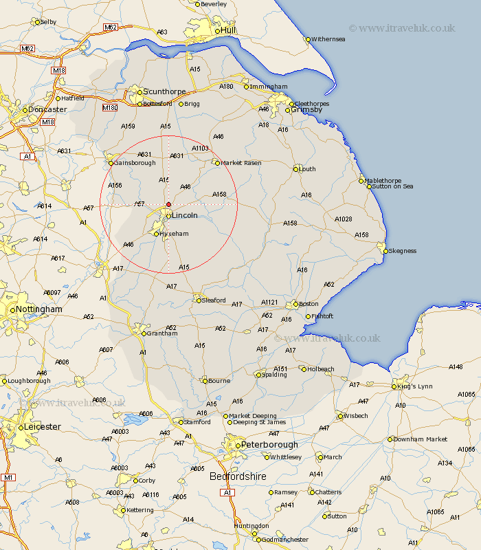
Lincolnshire Map Showing Location of Riseholme
Population: 408
District: West Lindsey
Easting: 497808 Northing: 375445
Latitude: 53.27 Longitude: -0.53
 = Riseholme
District: West Lindsey
Easting: 497808 Northing: 375445
Latitude: 53.27 Longitude: -0.53
= Riseholme
This Riseholme map below is supplied by Google. Use the tools in the top left corner to zoom into street level or zoom out for a road map, you may also need to zoom in to see Riseholme on the map. Click and drag the map to move around. If the map fails to load try and refresh your browser or zoom in or out (+ or -).
Update - it seems Google no longer allow people to use their maps for free! This Riseholme map sometimes loads and sometimes gives a error. I am working on a solution.
Closest 30 Towns or Cities to Riseholme (Population over 500)
Nettleham 3.33km Lincoln 3.71km Scrampton 4.32km Scampton 4.32km Welton 4.98km Sudbrooke 5.54km Dunholm 5.78km Dunholme 5.78km Scothern 5.84km Skellingthorpe 6.67km Washingborough 7.11km Fiskerton 7.62km Reepham 7.62km Saxilby 7.76km Cherry Willingham 7.96km Ingham 8.12km Heighington 8.64km Hykeham 9.85km North Hykeham 9.85km Branston 10.28km Waddington 11.12km Thorpe on the Hill 11.42km Thorpe-on-the-Hill 11.42km Thorpe 11.42km Potter Hanworth 12.1km Torksey 13.43km Nocton 13.56km Willingham 13.61km Eagle 13.63km Holton 13.8km