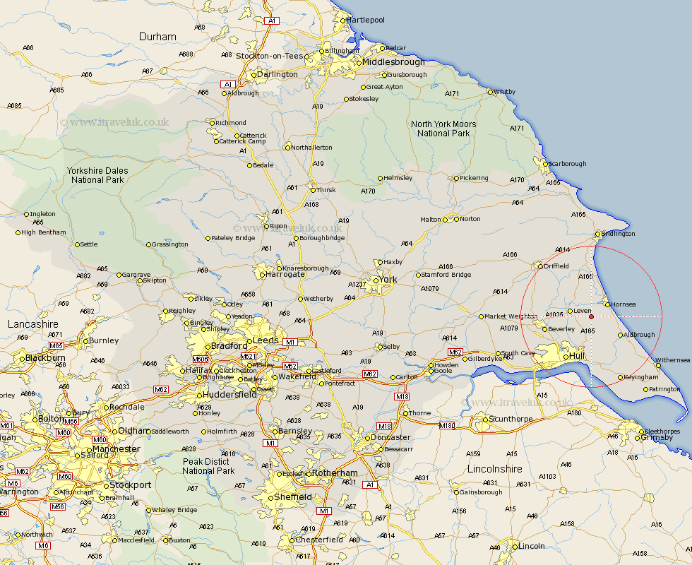
Yorkshire Map Showing Location of Rise
Population: 119
Easting: 516157 Northing: 442634
Latitude: 53.87 Longitude: -0.23
 = Rise
Easting: 516157 Northing: 442634
Latitude: 53.87 Longitude: -0.23
= Rise
This Rise map below is supplied by Google. Use the tools in the top left corner to zoom into street level or zoom out for a road map, you may also need to zoom in to see Rise on the map. Click and drag the map to move around. If the map fails to load try and refresh your browser or zoom in or out (+ or -).
Update - it seems Google no longer allow people to use their maps for free! This Rise map sometimes loads and sometimes gives a error. I am working on a solution.
Closest 30 Towns or Cities to Rise (Population over 500)
Skirlaugh Station 5.67km Hornsea 5.73km Leven 5.77km Brandsburton 7.07km Brandesburton 7.07km Dunnington 9.33km Aldbrough 9.46km Tickton 9.84km Sproatley 9.84km Wawne 10.66km Sutton-on-Hull 10.77km Sutton 10.77km Sutton on Hull 10.77km Skipsea 11.17km Woodmansey 11.3km Beeford 11.33km Preston 11.33km Beverley 12.59km Walkington 13.25km Cottingham 13.53km Hull 13.88km Burton Pidsea 14.15km Leckonfield 14.21km Leconfield 14.21km Hedon 15.19km Cranswick 16.04km Burstwick 16.22km Paull 16.68km Lockington 16.8km Thorngumbald 17.24km