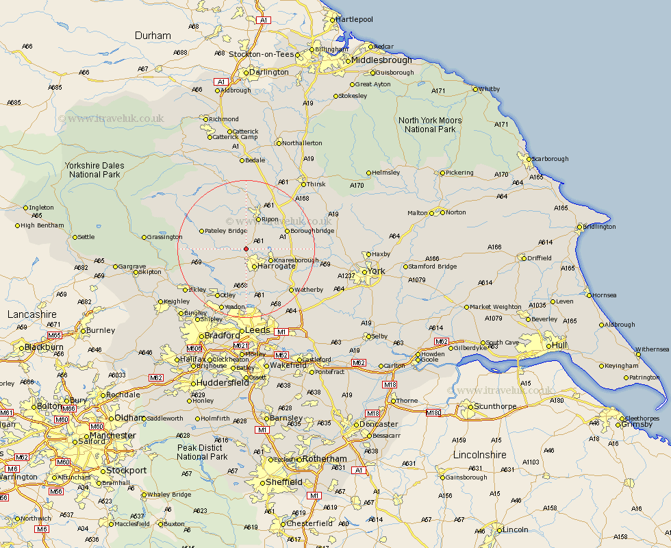
Yorkshire Map Showing Location of Ripley
Population: 236
District: Harrogate
Easting: 428379 Northing: 459809
Latitude: 54.03 Longitude: -1.57
 = Ripley
District: Harrogate
Easting: 428379 Northing: 459809
Latitude: 54.03 Longitude: -1.57
= Ripley
This Ripley map below is supplied by Google. Use the tools in the top left corner to zoom into street level or zoom out for a road map, you may also need to zoom in to see Ripley on the map. Click and drag the map to move around. If the map fails to load try and refresh your browser or zoom in or out (+ or -).
Update - it seems Google no longer allow people to use their maps for free! This Ripley map sometimes loads and sometimes gives a error. I am working on a solution.
Closest 30 Towns or Cities to Ripley (Population over 500)
Killinghall 2.15km Hampsthwaite 2.86km Birstwith 3.27km Burton Leonard 5.72km Harrogate 5.97km Monkton 7.06km Bishop Monkton 7.06km Knaresborough 7.51km Darley 8.71km Pannal 9.52km Ripon 9.83km Dacre 9.97km Boroughbridge 12.22km Weeton 12.97km Marton 13.57km Marton le Moor 13.57km Bewerley 14.19km Arthington 14.98km Arthington Junction Station 14.98km Poole 15.18km Pool-in-Wharfedale 15.18km Pool 15.18km Harewood 15.45km Kirkby Malzeard 15.8km Dishforth 16.25km Ouseburn 16.43km Great Ouseburn 16.43km Whixley 16.43km Otley 16.67km Bramhope 17km