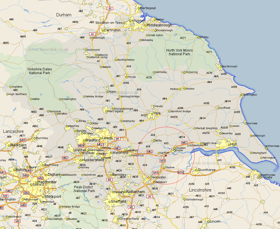
Yorkshire Map Showing Location of Rawcliffe
Population: 2087
Easting: 469340 Northing: 421297
Latitude: 53.68 Longitude: -0.95
 = Rawcliffe
Easting: 469340 Northing: 421297
Latitude: 53.68 Longitude: -0.95
= Rawcliffe
This Rawcliffe map below is supplied by Google. Use the tools in the top left corner to zoom into street level or zoom out for a road map, you may also need to zoom in to see Rawcliffe on the map. Click and drag the map to move around. If the map fails to load try and refresh your browser or zoom in or out (+ or -).
Update - it seems Google no longer allow people to use their maps for free! This Rawcliffe map sometimes loads and sometimes gives a error. I am working on a solution.
Closest 30 Towns or Cities to Rawcliffe (Population over 500)
Carlton 4.77km Airmyn 4.96km Snaith 5.49km Goole 6.63km Hook 7.56km Swinefleet 7.68km Howden 7.81km Pollington 7.9km Barlow 8.62km Thorne 9.33km Moorends 9.39km Cliffe Common 9.53km Cliff Common Station 9.53km Hemingbrough 9.53km Hensall 10.05km Fishlake 10.25km Stainforth 10.77km Brayton 12.76km Hatfield 13.15km Whitley 13.17km Eastrington 13.24km Selby 13.51km Askern 14.17km Bubwith 14.99km Barnby Dun 15.08km Barnby Don 15.08km Norton 16.35km Hambleton 17.01km Sutton 17.02km Campsall 17.07km