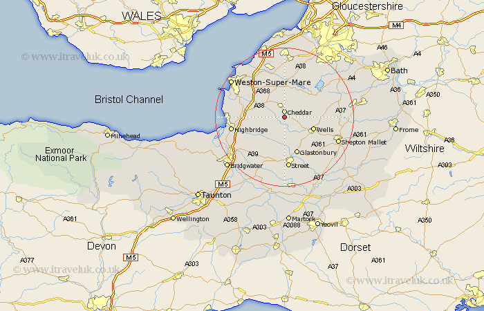
Somerset Map Showing Location of Priddy
Population: 598
District: Mendip
Easting: 346498 Northing: 150428
Latitude: 51.25 Longitude: -2.77
 = Priddy
District: Mendip
Easting: 346498 Northing: 150428
Latitude: 51.25 Longitude: -2.77
= Priddy
This Priddy map below is supplied by Google. Use the tools in the top left corner to zoom into street level or zoom out for a road map, you may also need to zoom in to see Priddy on the map. Click and drag the map to move around. If the map fails to load try and refresh your browser or zoom in or out (+ or -).
Update - it seems Google no longer allow people to use their maps for free! This Priddy map sometimes loads and sometimes gives a error. I am working on a solution.
Closest 30 Towns or Cities to Priddy (Population over 500)
Cheddar 1.86km Rodney Stoke 2.32km Westbury 3.94km Axbridge 4.37km Weare 5km Wedmore 5.08km Shipham 6.02km Wookey 8.04km Wells 8.93km Meare 9.34km Churchill 9.55km Compton Martin 9.84km Blagdon 9.89km Mark 9.99km Banwell 10.17km Sandford 10.36km East Harptree 10.81km Glastonbury 11.3km Locking 12.31km Chewton Mendip 12.89km Wrington 12.98km Congresbury 13.18km Ashcott 13.18km Lympsham 13.28km Hutton 13.76km West Pennard 13.77km Shapwick 13.78km Bleadon 13.91km Brent Knoll 13.92km Chew Stoke 14.48km