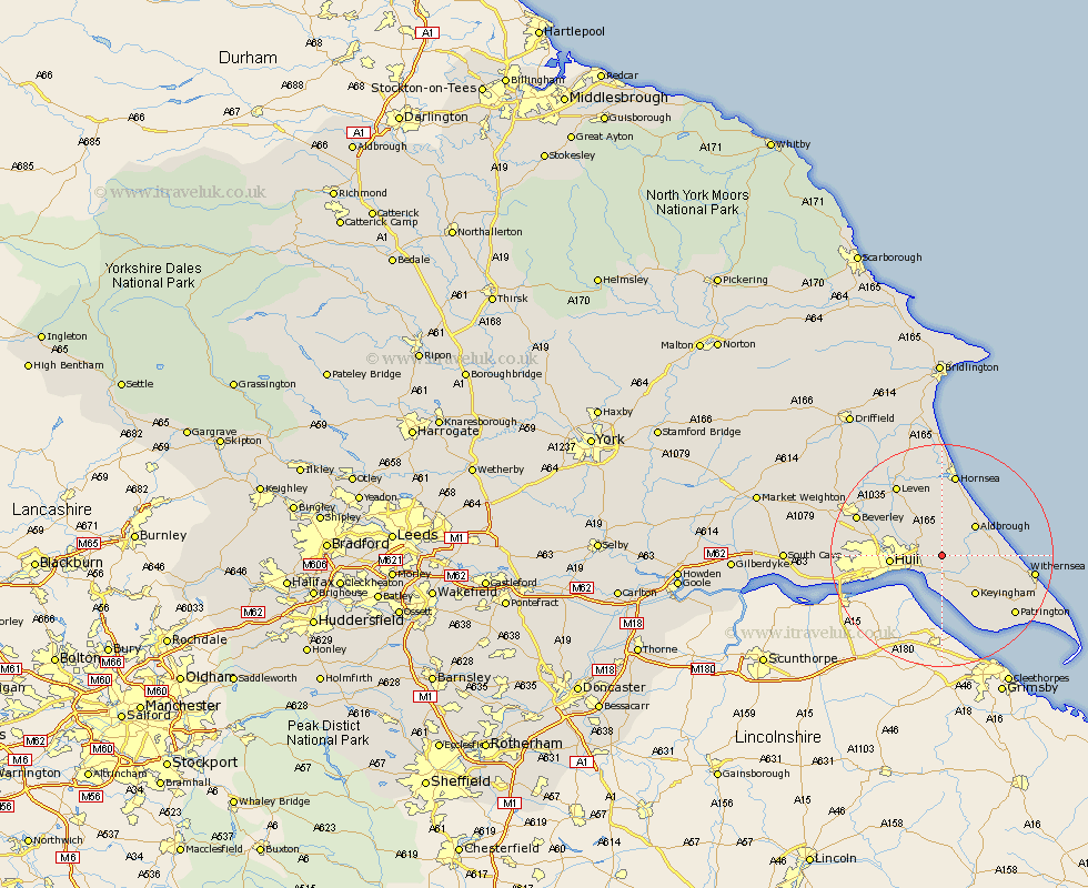
Yorkshire Map Showing Location of Preston
Population: 1996
Area Size (ha): 61
Easting: 518630 Northing: 431566
Latitude: 53.77 Longitude: -0.2
 = Preston
Area Size (ha): 61
Easting: 518630 Northing: 431566
Latitude: 53.77 Longitude: -0.2
= Preston
This Preston map below is supplied by Google. Use the tools in the top left corner to zoom into street level or zoom out for a road map, you may also need to zoom in to see Preston on the map. Click and drag the map to move around. If the map fails to load try and refresh your browser or zoom in or out (+ or -).
Update - it seems Google no longer allow people to use their maps for free! This Preston map sometimes loads and sometimes gives a error. I am working on a solution.
Closest 30 Towns or Cities to Preston (Population over 500)
Sproatley 2.15km Hedon 3.87km Burstwick 5.74km Paull 5.98km Thorngumbold 5.98km Thorngumbald 5.98km Skirlaugh Station 6.46km Burton Pidsea 6.57km Aldbrough 7.8km Sutton on Hull 7.89km Sutton 7.89km Sutton-on-Hull 7.89km Hull 8.83km Keyingham 9.22km Roos 10.03km Kingston upon Hull 10.38km Wawne 10.53km Ottringham 10.67km Walkington 11.31km Cottingham 12.19km Woodmansey 13.26km Hornsea 14.98km Leven 15.06km Anlaby 15.78km Withernsea 15.79km Beverley 16.04km Hessle 16.32km Tickton 16.39km Patrington 16.41km Willerby 16.43km