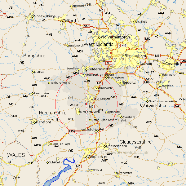
Worcestershire Map Showing Location of Powick
Population: 3020
District: Malvern Hills
Easting: 382902 Northing: 252122
Latitude: 52.17 Longitude: -2.25
 = Powick
District: Malvern Hills
Easting: 382902 Northing: 252122
Latitude: 52.17 Longitude: -2.25
= Powick
This Powick map below is supplied by Google. Use the tools in the top left corner to zoom into street level or zoom out for a road map, you may also need to zoom in to see Powick on the map. Click and drag the map to move around. If the map fails to load try and refresh your browser or zoom in or out (+ or -).
Update - it seems Google no longer allow people to use their maps for free! This Powick map sometimes loads and sometimes gives a error. I am working on a solution.
Closest 30 Towns or Cities to Powick (Population over 500)
Powick 0km Leigh 4.91km Worcester 5.03km Kempsey 5.04km Hallow 5.56km Great Malvern 7.18km Malvern 7.18km Grimley 7.41km Seven Stoke 7.76km Severn Stoke 7.76km Fernhill Heath 8.15km Wadborough 8.8km Holt 9.26km Hanley Castle 9.34km Crowle 9.82km Peopleton 10.4km Martley 10.87km Malvern Wells 10.88km Ombersley 11.18km Upton 11.35km Upton upon Severn 11.35km Upton-on-Severn 11.35km Upton on Severn 11.35km Suckley 11.37km Defford 12.99km Droitwich 13.04km Welland 13.42km Pershore 13.69km Eckington 14.37km Great Witley 14.65km