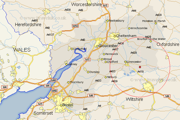
Gloucestershire Map Showing Location of Poulton
Population: 398
District: Cotswold
Easting: 410365 Northing: 200201
Latitude: 51.7 Longitude: -1.85
 = Poulton
District: Cotswold
Easting: 410365 Northing: 200201
Latitude: 51.7 Longitude: -1.85
= Poulton
This Poulton map below is supplied by Google. Use the tools in the top left corner to zoom into street level or zoom out for a road map, you may also need to zoom in to see Poulton on the map. Click and drag the map to move around. If the map fails to load try and refresh your browser or zoom in or out (+ or -).
Update - it seems Google no longer allow people to use their maps for free! This Poulton map sometimes loads and sometimes gives a error. I am working on a solution.
Closest 30 Towns or Cities to Poulton (Population over 500)
Ampney St. Peter 2.3km Ampney St Peter 2.3km Ampney Saint Peter 2.3km Ampney 2.3km Fairford 4.59km Quenington 4.95km South Cerney 5.9km Cerney 5.9km Bibury 6.01km Kempsford 6.83km Siddington 7.14km Cirencester 9.9km Cicester 9.9km Lechlade 10.34km North Cerney 10.93km Chedworth 12.03km Northleach 15km Withington 16.34km Bourton on the Water 19.77km Bourton-on-the-Water 19.77km Andoversford 19.77km Minchinhampton 21.82km Avening 21.91km Chalford 22.13km Tetbury 23.07km Charlton Kings 23.79km Nailsworth 24.2km Leckhampton 24.52km Stroud 24.74km Painswick 24.75km