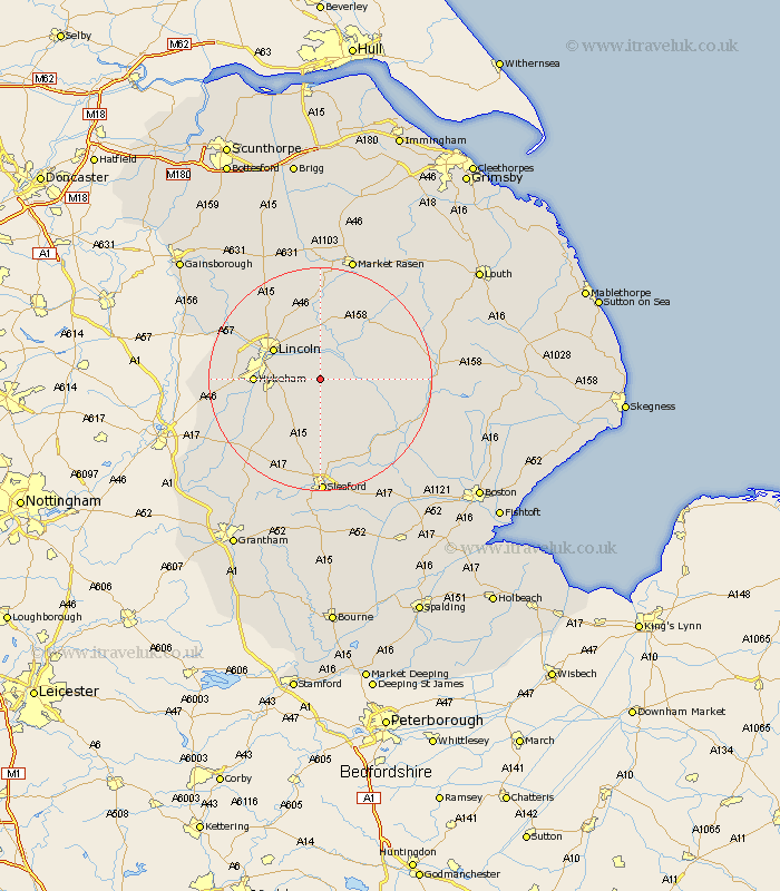
Lincolnshire Map Showing Location of Potter Hanworth
Population: 648
District: North Kesteven
Easting: 505793 Northing: 366335
Latitude: 53.18 Longitude: -0.42
 = Potter Hanworth
District: North Kesteven
Easting: 505793 Northing: 366335
Latitude: 53.18 Longitude: -0.42
= Potter Hanworth
This Potter Hanworth map below is supplied by Google. Use the tools in the top left corner to zoom into street level or zoom out for a road map, you may also need to zoom in to see Potter Hanworth on the map. Click and drag the map to move around. If the map fails to load try and refresh your browser or zoom in or out (+ or -).
Update - it seems Google no longer allow people to use their maps for free! This Potter Hanworth map sometimes loads and sometimes gives a error. I am working on a solution.
Closest 30 Towns or Cities to Potter Hanworth (Population over 500)
Nocton 1.85km Branston 3.33km Heighington 3.81km Dunston 3.87km Washingborough 4.99km Metheringham 5.67km Fiskerton 5.67km Reepham 5.67km Cherry Willingham 5.72km Bardney 7.63km Waddington 7.99km Martin 9.26km Scopwick 9.33km Sudbrooke 9.54km Lincoln 9.55km Nettleham 10.28km North Hykeham 11.11km Hykeham 11.11km Bloxholme 11.12km Bloxholm 11.12km Scothern 11.34km Navenby 11.41km Digby 11.61km Wellingore 12.1km Dunholme 13.4km Dunholm 13.4km Wragby 13.56km Welton 13.71km Aubourn 13.84km Woodhall Spa 13.84km