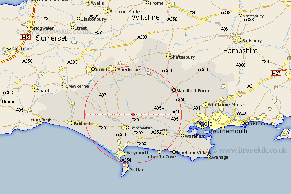
Dorset Map Showing Location of Piddlehinton
Population: 379
District: West Dorset
Easting: 371794 Northing: 96485
Latitude: 50.77 Longitude: -2.4
 = Piddlehinton
District: West Dorset
Easting: 371794 Northing: 96485
Latitude: 50.77 Longitude: -2.4
= Piddlehinton
This Piddlehinton map below is supplied by Google. Use the tools in the top left corner to zoom into street level or zoom out for a road map, you may also need to zoom in to see Piddlehinton on the map. Click and drag the map to move around. If the map fails to load try and refresh your browser or zoom in or out (+ or -).
Update - it seems Google no longer allow people to use their maps for free! This Piddlehinton map sometimes loads and sometimes gives a error. I am working on a solution.
Closest 30 Towns or Cities to Piddlehinton (Population over 500)
Piddletrenthide 2.19km Puddletrenthide 2.19km Puddletown 3.98km Piddletown 3.98km Charminster 5.12km Cerne Abbas 5.97km Dorchester 6.03km Buckland Newton 8.2km Milborne Saint Andrew 8.21km Milborne St. Andrew 8.21km Milborne St Andrew 8.21km Milborne 8.21km Milton Abbas 9km Broadmayne 9.35km Maiden Newton 11.72km Whitechurch 12.29km Bovington Camp 12.9km Bere Regis 13.03km Preston 13.03km Bincombe 13.45km Upton 13.58km Winterborne Stickland 13.86km Stickland Winterborne 13.86km Winterborne Kingston 14.07km Overcombe 14.7km Osmington 15.02km Leigh 15.32km Wool 15.67km Winfrith 16.02km Winfrith Newburgh 16.02km