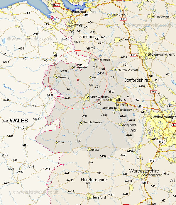
Shropshire Map Showing Location of Petton
Population: 89
District: North Shropshire
Easting: 343865 Northing: 326559
Latitude: 52.83 Longitude: -2.83
 = Petton
District: North Shropshire
Easting: 343865 Northing: 326559
Latitude: 52.83 Longitude: -2.83
= Petton
This Petton map below is supplied by Google. Use the tools in the top left corner to zoom into street level or zoom out for a road map, you may also need to zoom in to see Petton on the map. Click and drag the map to move around. If the map fails to load try and refresh your browser or zoom in or out (+ or -).
Update - it seems Google no longer allow people to use their maps for free! This Petton map sometimes loads and sometimes gives a error. I am working on a solution.
Closest 30 Towns or Cities to Petton (Population over 500)
Cockshutt 2.17km Cockshut 2.17km Loppington 5.01km Baschurch 5.99km Welshampton 7.5km Wem 8.05km Great Ness 8.66km Ellesmere 9.86km West Felton 10.25km Whixall 10.79km Hadnall 10.79km Bicton 11.18km Kinnerley 11.51km Whittington 11.79km Stanton 12.46km Stanton upon Hine Heath 12.46km Prees 12.49km Precs 12.49km Ford 13.01km Shawbury 13.52km Oswestry 13.56km St Martins 14.25km St. Martins 14.25km Saint Martins 14.25km Gobowen 14.53km Shrewsbury 14.61km Alberbury 15.16km Pant 16.64km Hanwood 16.72km Great Hanwood 16.72km