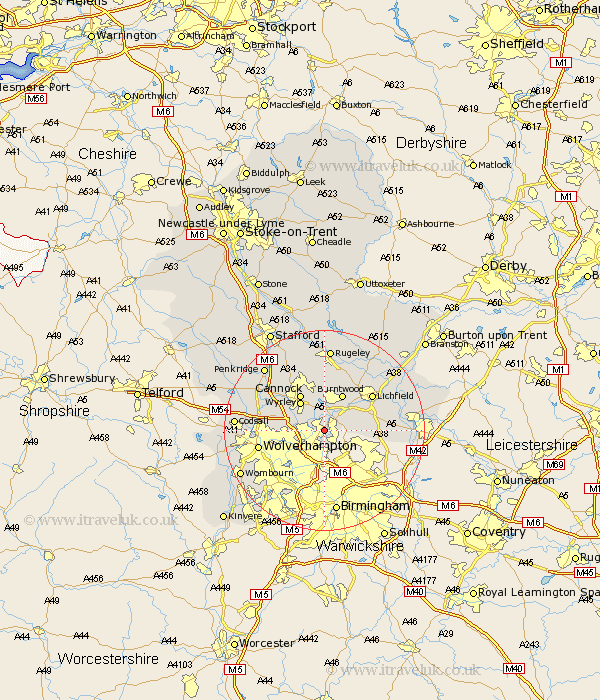
Staffordshire Map Showing Location of Pelsall
Population: 9866
Area Size (ha): 192
District: Walsall
Easting: 403384 Northing: 302143
Latitude: 52.62 Longitude: -1.95
 = Pelsall
Area Size (ha): 192
District: Walsall
Easting: 403384 Northing: 302143
Latitude: 52.62 Longitude: -1.95
= Pelsall
This Pelsall map below is supplied by Google. Use the tools in the top left corner to zoom into street level or zoom out for a road map, you may also need to zoom in to see Pelsall on the map. Click and drag the map to move around. If the map fails to load try and refresh your browser or zoom in or out (+ or -).
Update - it seems Google no longer allow people to use their maps for free! This Pelsall map sometimes loads and sometimes gives a error. I am working on a solution.
Closest 30 Towns or Cities to Pelsall (Population over 500)
Pelsall 0km Rushall 1.86km Brownhills 2.16km Aldridge 2.92km Walsall 3.85km Wallsall 3.85km Hammerwich 5.83km Great Wyrley 7.38km Wyrley 7.38km Norton Canes 7.49km Shenstone 8.09km Burntwood 8.14km Cannock 8.66km Bilston 9.64km Hednesford 9.86km Shareshill 10.58km Huntington 10.83km West Bromwich 11.62km Lichfield 11.65km Longdon 11.99km Wolverhampton 12.93km Smethwick 13.41km Armitage 13.72km Whittington 14.42km Dudley 15.8km Drayton Bassett 15.86km Brewood 16.39km Rugeley 16.72km Colton 16.83km Fazeley 16.88km