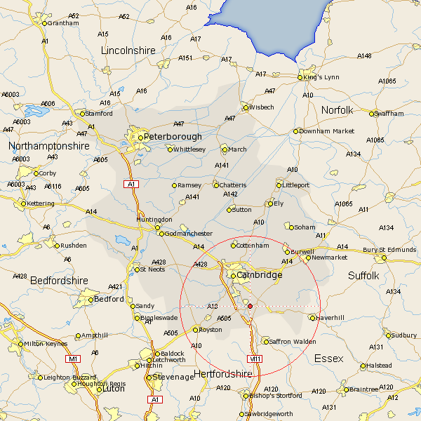
Cambridgeshire Map Showing Location of Pampisford
Population: 343
District: South Cambridgeshire
Easting: 549473 Northing: 248780
Latitude: 52.12 Longitude: 0.18
 = Pampisford
District: South Cambridgeshire
Easting: 549473 Northing: 248780
Latitude: 52.12 Longitude: 0.18
= Pampisford
This Pampisford map below is supplied by Google. Use the tools in the top left corner to zoom into street level or zoom out for a road map, you may also need to zoom in to see Pampisford on the map. Click and drag the map to move around. If the map fails to load try and refresh your browser or zoom in or out (+ or -).
Update - it seems Google no longer allow people to use their maps for free! This Pampisford map sometimes loads and sometimes gives a error. I am working on a solution.
Closest 30 Towns or Cities to Pampisford (Population over 500)
Sawston 1.14km Whittlesford 2.28km Shelford 3.88km Duxford 4.35km Ickleton 5.56km Thriplow 5.99km Linton 5.99km Hauxton 6.79km Harston 7.07km Fulbourn 7.75km Fulbourne 7.75km Fowlmere 7.78km Foulmere 7.78km Foxton 7.97km Wilbraham 8.69km Great Wilbraham 8.69km Shepreth 9.1km Teversham 9.26km Balsham 9.29km Haslingfield 9.29km Barrington 10.24km Cambridge 10.32km Needham Market 10.89km Meldreth 11.53km Melbourn 11.97km Melborn 11.97km Coton 12.21km Bottisham 12.49km Comberton 12.63km Milton 13.16km