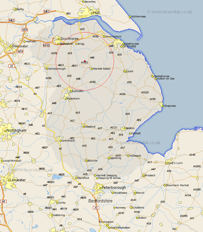
Lincolnshire Map Showing Location of North Owersby
Population: 273
District: West Lindsey
Easting: 506284 Northing: 394166
Latitude: 53.43 Longitude: -0.4
 = North Owersby
District: West Lindsey
Easting: 506284 Northing: 394166
Latitude: 53.43 Longitude: -0.4
= North Owersby
This North Owersby map below is supplied by Google. Use the tools in the top left corner to zoom into street level or zoom out for a road map, you may also need to zoom in to see North Owersby on the map. Click and drag the map to move around. If the map fails to load try and refresh your browser or zoom in or out (+ or -).
Update - it seems Google no longer allow people to use their maps for free! This North Owersby map sometimes loads and sometimes gives a error. I am working on a solution.
Closest 30 Towns or Cities to North Owersby (Population over 500)
South Kelsey 4.32km North Kelsey 5.67km Middle Rasen 5.98km Market Rasen 7.1km Nettleton 7.83km Caistor 7.83km Waddingham 7.95km Hibaldstow 11.53km Kirton 13.76km Kirton in Lindsey 13.76km Brigg 14.1km Scawby 14.19km binbrook 14.35km Barnetby le Wold 14.83km Barnetby 14.83km Holton 15.47km Dunholme 15.47km Dunholm 15.47km Wrawby 15.48km Welton 15.82km Ingham 16.48km Scotton 16.97km Scothern 17.01km Keelby 17.85km Broughton 17.85km Wragby 17.95km South Killingholme 18.48km Scrampton 18.49km Scampton 18.49km Scotter 18.51km