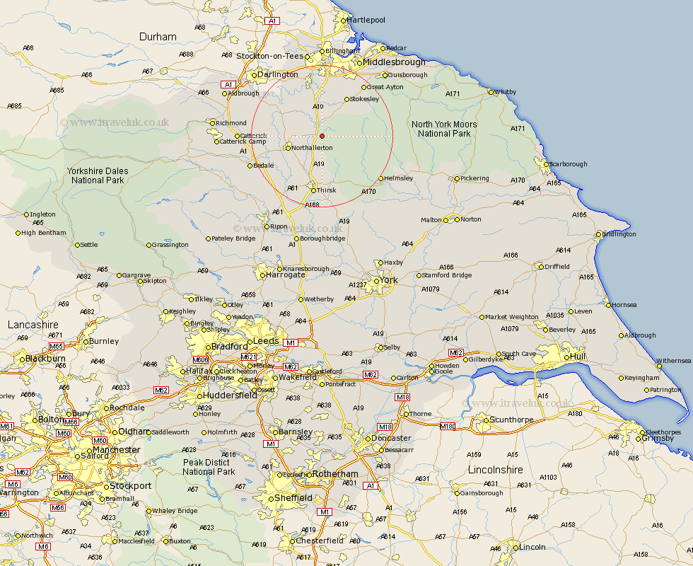
Yorkshire Map Showing Location of Osmotherley
Population: 614
District: Hambleton
Easting: 445475 Northing: 497040
Latitude: 54.37 Longitude: -1.3
 = Osmotherley
District: Hambleton
Easting: 445475 Northing: 497040
Latitude: 54.37 Longitude: -1.3
= Osmotherley
This Osmotherley map below is supplied by Google. Use the tools in the top left corner to zoom into street level or zoom out for a road map, you may also need to zoom in to see Osmotherley on the map. Click and drag the map to move around. If the map fails to load try and refresh your browser or zoom in or out (+ or -).
Update - it seems Google no longer allow people to use their maps for free! This Osmotherley map sometimes loads and sometimes gives a error. I am working on a solution.
Closest 30 Towns or Cities to Osmotherley (Population over 500)
Whorlton 6.43km Brompton 7.78km Northallerton 9.41km Middleton upon Leven 11.33km Middleton 11.33km Seamer 12.36km Great Broughton 12.66km Stokesley 12.86km Ingleby 14.91km East Cowton 16.1km Cowton 16.1km North Cowton 16.61km Thirsk 16.82km Great Ayton 18.33km Scorton 19.52km Helmsley 19.94km Bedale 20.58km Topcliffe 21.1km Catterick 21.59km Crakehall 21.83km Ampleforth 22.03km Eston 24.14km Middlesborough 24.26km Middlesbrough 24.26km Middlebrough 24.26km South Bank-on-Tees 24.26km South Bank 24.26km South Bank on Tees 24.26km South Bank in Normanby 24.26km Middleton Tyas 24.47km