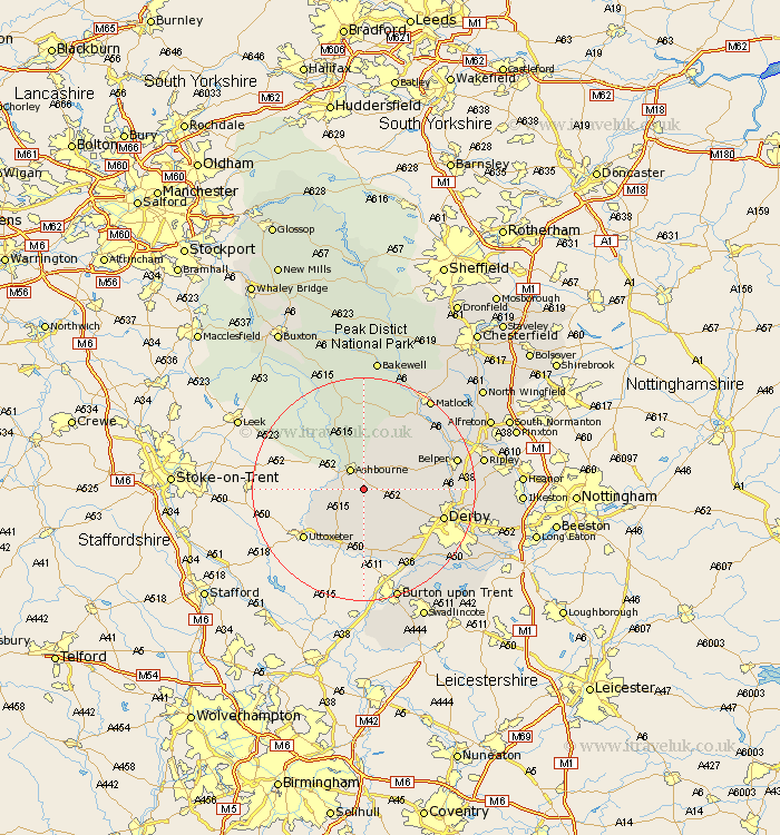
Derbyshire Map Showing Location of Osmaston
Population: 130
District: Derbyshire Dales
Easting: 420138 Northing: 342960
Latitude: 52.98 Longitude: -1.7
 = Osmaston
District: Derbyshire Dales
Easting: 420138 Northing: 342960
Latitude: 52.98 Longitude: -1.7
= Osmaston
This Osmaston map below is supplied by Google. Use the tools in the top left corner to zoom into street level or zoom out for a road map, you may also need to zoom in to see Osmaston on the map. Click and drag the map to move around. If the map fails to load try and refresh your browser or zoom in or out (+ or -).
Update - it seems Google no longer allow people to use their maps for free! This Osmaston map sometimes loads and sometimes gives a error. I am working on a solution.
Closest 30 Towns or Cities to Osmaston (Population over 500)
Clifton 3.83km Ashbourne 4.33km Brailsford 6.7km Kirk Langley 10.52km Church Broughton 11.12km Brassington 11.61km Doveridge 12.12km Sudbury 13.39km Quarndon 13.9km Wirksworth 14.25km Burnaston 14.26km Derby 14.5km Etwall 14.6km Duffield 14.63km Scropton 14.86km Holbrook 15.73km Cromford 15.74km Ambergate 16.28km Ambergate Junction Station 16.28km Belper 16.57km Bonsall 16.76km Winster 17.01km Matlock Bath 17.14km Little Eaton 17.15km Heage 17.63km Breadsall 17.64km Kilbourn 17.95km Kilbourne 17.95km Kilburn 17.95km Egginton 17.98km