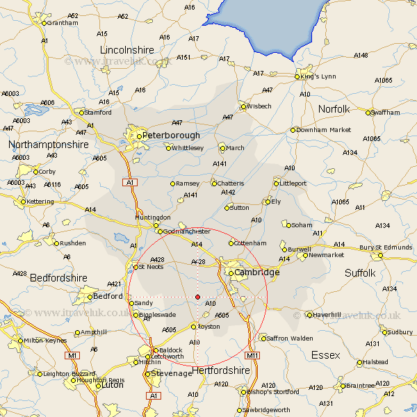
Cambridgeshire Map Showing Location of Orwell
Population: 1080
District: South Cambridgeshire
Easting: 535732 Northing: 250233
Latitude: 52.13 Longitude: -0.02
 = Orwell
District: South Cambridgeshire
Easting: 535732 Northing: 250233
Latitude: 52.13 Longitude: -0.02
= Orwell
This Orwell map below is supplied by Google. Use the tools in the top left corner to zoom into street level or zoom out for a road map, you may also need to zoom in to see Orwell on the map. Click and drag the map to move around. If the map fails to load try and refresh your browser or zoom in or out (+ or -).
Update - it seems Google no longer allow people to use their maps for free! This Orwell map sometimes loads and sometimes gives a error. I am working on a solution.
Closest 30 Towns or Cities to Orwell (Population over 500)
Barrington 3.88km Needham Market 3.88km Meldreth 4.35km Haslingfield 4.55km Shepreth 4.91km Toft 5.56km Foxton 5.98km Bourn 6.01km Melborn 6.01km Melbourn 6.01km Comberton 6.52km Harston 6.83km Bassingbourn 7.75km Hardwicke 7.76km Hardwick 7.76km Hauxton 8.18km Litlington 8.69km Thriplow 8.78km Fowlmere 8.81km Foulmere 8.81km Coton 9.34km Gransden 9.71km Great Gransden 9.71km Guilden Morden 9.72km Shelford 10.24km Steeple Morden 11.51km Gamlingay 11.52km Whittlesford 11.53km Dry Drayton 11.63km Cambridge 11.73km