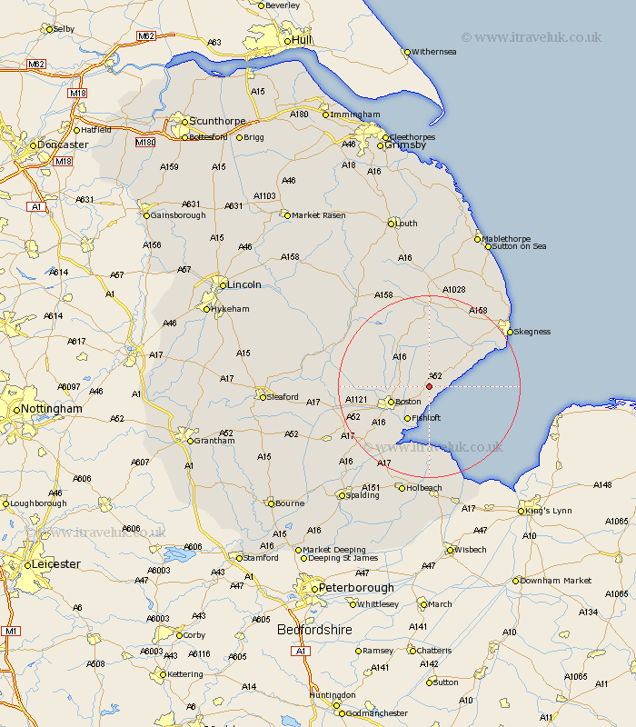
Lincolnshire Map Showing Location of Leake
Population: 1803
District: Boston
Easting: 540855 Northing: 348696
Latitude: 53.02 Longitude: 0.1
 = Leake
District: Boston
Easting: 540855 Northing: 348696
Latitude: 53.02 Longitude: 0.1
= Leake
This Leake map below is supplied by Google. Use the tools in the top left corner to zoom into street level or zoom out for a road map, you may also need to zoom in to see Leake on the map. Click and drag the map to move around. If the map fails to load try and refresh your browser or zoom in or out (+ or -).
Update - it seems Google no longer allow people to use their maps for free! This Leake map sometimes loads and sometimes gives a error. I am working on a solution.
Closest 30 Towns or Cities to Leake (Population over 500)
Wrangle 2.16km Leverton 2.17km Bennington 3.88km Benington 3.88km Butterwick 4.33km Sibsey 5.87km Freiston 6.49km Frieston 6.49km Friskney 7.87km Boston 8.65km Fishtoft 8.66km Frithville 9.11km Stickney 9.27km Wyberton 12.13km Carrington 12.47km Frampton 13.59km Wainfleet All Saints 13.65km Wainfleet 13.65km Brothertoft 13.89km Kirton 14.99km Croft 16.39km Sutterton 17.87km Burgh le Marsh 17.89km Spilsby 18.52km Swineshead 19.14km Coningsby 21km Bicker 21.04km Skegness 21.14km Mareham on the Hill 21.61km Mareham-on-the-Hill 21.61km