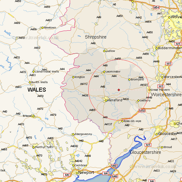
Herefordshire Map Showing Location of Ocle Pychard
Population: 279
Easting: 358921 Northing: 246702
Latitude: 52.12 Longitude: -2.6
 = Ocle Pychard
Easting: 358921 Northing: 246702
Latitude: 52.12 Longitude: -2.6
= Ocle Pychard
This Ocle Pychard map below is supplied by Google. Use the tools in the top left corner to zoom into street level or zoom out for a road map, you may also need to zoom in to see Ocle Pychard on the map. Click and drag the map to move around. If the map fails to load try and refresh your browser or zoom in or out (+ or -).
Update - it seems Google no longer allow people to use their maps for free! This Ocle Pychard map sometimes loads and sometimes gives a error. I am working on a solution.
Closest 30 Towns or Cities to Ocle Pychard (Population over 500)
Withington 2.94km Sutton 5.99km Lugwardine 6.53km Bodenham 6.79km Mordiford 7.76km Moreton-on-Lugg 9.29km Moreton on Lugg 9.29km Moreton 9.29km Bromyard 10.07km Wellington 10.41km Hereford 10.89km Bosbury 10.9km Burghill 11.53km Bullingham 12.23km Fownhope 12.98km Credenhill 13.78km Ledbury 14.56km Much Marcle 14.67km Colwall 15.26km Leominster 15.84km Allensmore 16.75km Cradley 17.25km Whitbourne 17.6km Much Dewchurch 18.03km Much Birch 18.49km Weobley 19.03km Upton Bishop 19.39km Madley 19.44km Kingstone 19.44km Luston 19.56km