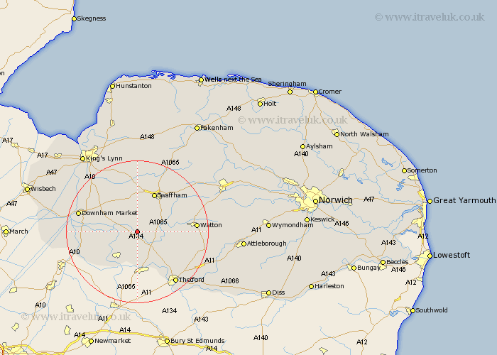
Norfolk Map Showing Location of Northwold
Population: 1070
District: King's Lynn and West Norfolk
Easting: 576263 Northing: 297899
Latitude: 52.55 Longitude: 0.6
 = Northwold
District: King's Lynn and West Norfolk
Easting: 576263 Northing: 297899
Latitude: 52.55 Longitude: 0.6
= Northwold
This Northwold map below is supplied by Google. Use the tools in the top left corner to zoom into street level or zoom out for a road map, you may also need to zoom in to see Northwold on the map. Click and drag the map to move around. If the map fails to load try and refresh your browser or zoom in or out (+ or -).
Update - it seems Google no longer allow people to use their maps for free! This Northwold map sometimes loads and sometimes gives a error. I am working on a solution.
Closest 30 Towns or Cities to Northwold (Population over 500)
Methwold 5.02km Stoke Ferry 5.93km Mundford 6.51km Feltwell 8.68km Wereham 8.71km Weeting 11.18km Marham 11.62km Hockwold cum Wilton 11.62km Hockwold 11.62km Swaffham 12km Hilgay 13.52km Shouldham 13.63km Ashill 14.61km Narborough 14.87km Southery 15.12km Great Palgrave 15.79km Palgrave 15.79km Watton 15.88km Denver 16.2km Necton 16.64km Downham Market 16.72km Runcton Holme 17.5km Runcton 17.5km Castle Acre 17.6km Thetford 17.97km Griston 18.03km Carbooke 19.5km Carbrooke 19.5km Watlington 19.56km Hockham 19.96km