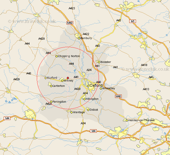
Oxfordshire Map Showing Location of North Leigh
Population: 1919
District: West Oxfordshire
Easting: 439071 Northing: 211463
Latitude: 51.8 Longitude: -1.43
 = North Leigh
District: West Oxfordshire
Easting: 439071 Northing: 211463
Latitude: 51.8 Longitude: -1.43
= North Leigh
This North Leigh map below is supplied by Google. Use the tools in the top left corner to zoom into street level or zoom out for a road map, you may also need to zoom in to see North Leigh on the map. Click and drag the map to move around. If the map fails to load try and refresh your browser or zoom in or out (+ or -).
Update - it seems Google no longer allow people to use their maps for free! This North Leigh map sometimes loads and sometimes gives a error. I am working on a solution.
Closest 30 Towns or Cities to North Leigh (Population over 500)
Church Handborough 3.44km Hanborough 3.44km Hailey 3.44km Stonesfield 3.7km Witney 3.91km Ensham 5.05km Eynsham 5.05km Bladon 6.02km Cassington 6.02km Ducklington 6.54km Minster Lovell 6.88km Leafield 7.12km Charlbury 7.76km Stanton Harcourt 7.76km Yarnton 9.17km Standlake 9.33km Woodstock 9.76km Brize Norton 9.89km Kidlington 10.48km Chadlington 10.89km Tackley 10.92km Cumnor 11.54km Bampton 11.54km Shipton-under-Wychwood 11.71km Shipton under Wychwood 11.71km Shipton 11.71km Carterton 11.72km Shilton 12.05km North Hinksey 12.71km Bletchingdon 12.73km