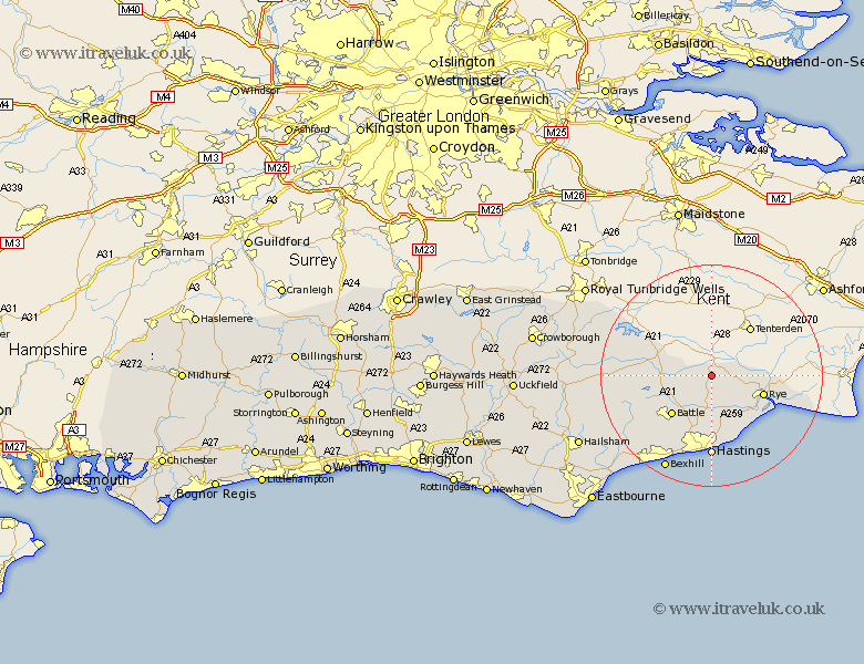
Sussex Map Showing Location of Northiam
Population: 2104
District: Rother
Easting: 582476 Northing: 123710
Latitude: 50.98 Longitude: 0.6
 = Northiam
District: Rother
Easting: 582476 Northing: 123710
Latitude: 50.98 Longitude: 0.6
= Northiam
This Northiam map below is supplied by Google. Use the tools in the top left corner to zoom into street level or zoom out for a road map, you may also need to zoom in to see Northiam on the map. Click and drag the map to move around. If the map fails to load try and refresh your browser or zoom in or out (+ or -).
Update - it seems Google no longer allow people to use their maps for free! This Northiam map sometimes loads and sometimes gives a error. I am working on a solution.
Closest 30 Towns or Cities to Northiam (Population over 500)
Beckley 2.98km Peasmarsh 6.12km Brede 7.4km Sedlescombe 8.76km Robertsbridge 9.33km Hurst Green 9.52km Westfield 9.55km Rye 10.04km Battle 10.19km Icklesham 10.37km Mountfield 10.87km Fairlight 11.36km Guestling 11.36km Etchingham 11.81km Pett 12.06km Ticehurst 13.98km Crowhurst 14.74km Hastings 14.82km Burwash 15.28km Catsfield 15.3km Ninfield 18.25km Bexhill 19.11km Wadhurst 20.08km Herstmonceux 21.75km Hurstmonceux 21.75km Hurstmonceaux 21.75km Warbleton 22.87km Heathfield 23.63km Mayfield 24.57km Horeham 25.61km