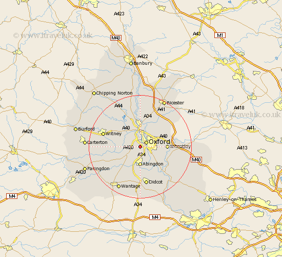
Oxfordshire Map Showing Location of North Hinksey
Population: 4316
District: Vale of White Horse
Easting: 449486 Northing: 204136
Latitude: 51.73 Longitude: -1.28
 = North Hinksey
District: Vale of White Horse
Easting: 449486 Northing: 204136
Latitude: 51.73 Longitude: -1.28
= North Hinksey
This North Hinksey map below is supplied by Google. Use the tools in the top left corner to zoom into street level or zoom out for a road map, you may also need to zoom in to see North Hinksey on the map. Click and drag the map to move around. If the map fails to load try and refresh your browser or zoom in or out (+ or -).
Update - it seems Google no longer allow people to use their maps for free! This North Hinksey map sometimes loads and sometimes gives a error. I am working on a solution.
Closest 30 Towns or Cities to North Hinksey (Population over 500)
Oxford 2.95km Wootton 3.88km Cumnor 3.91km Littlemore 4.95km Sunningwell 5.56km Radley 6.54km Cassington 7.21km Abingdon 7.41km Abingdon-on-Thames 7.41km Abingdon on Thames 7.41km Yarnton 7.51km Ensham 7.82km Eynsham 7.82km Stanton Harcourt 8.03km Beckley 8.85km Kidlington 9.27km Standlake 9.37km Marcham 9.88km Islip 9.89km Garsington 9.9km Hanborough 10.12km Church Handborough 10.12km Wheatley 10.33km Bladon 10.35km Cuddesdon 10.49km Clifton Hampden 10.9km Drayton 11.18km Sutton Courtenay 11.18km Long Wittenham 11.64km Longworth 11.74km