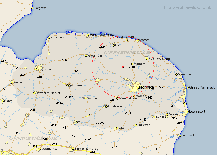
Norfolk Map Showing Location of Cawston
Population: 1390
District: Broadland
Easting: 613610 Northing: 323528
Latitude: 52.77 Longitude: 1.17
 = Cawston
District: Broadland
Easting: 613610 Northing: 323528
Latitude: 52.77 Longitude: 1.17
= Cawston
This Cawston map below is supplied by Google. Use the tools in the top left corner to zoom into street level or zoom out for a road map, you may also need to zoom in to see Cawston on the map. Click and drag the map to move around. If the map fails to load try and refresh your browser or zoom in or out (+ or -).
Update - it seems Google no longer allow people to use their maps for free! This Cawston map sometimes loads and sometimes gives a error. I am working on a solution.
Closest 30 Towns or Cities to Cawston (Population over 500)
Reepham 3.84km Witchingham 5.01km Marsham 5.61km Aylsham 5.9km Corpusty 5.99km Hevingham 6.98km Lyng 8.73km Erpingham 9.29km Bawdeswell 9.71km Foulham 10.26km Foulsham 10.26km Hainford 10.56km Haynford 10.56km Horsford 10.84km Taverham 11.18km Little Hautbois 11.37km Lammas 11.37km Lamas Little Hautbois 11.37km Briston 11.44km Hindolveston 11.52km Drayton 11.62km Felmingham 11.8km Horsham St. Faith 12.15km Horsham 12.15km Horsham St Faith 12.15km Horsham Saint Faith 12.15km Mellon Constable 12.89km Melton Constable 12.89km Hockering 13km Costessey 13.41km