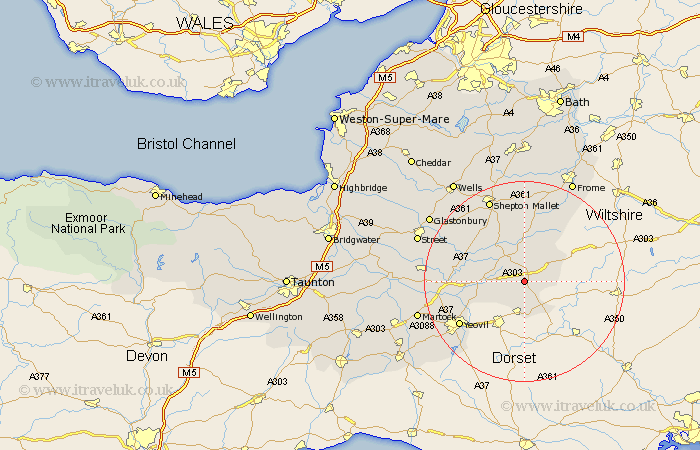
Somerset Map Showing Location of North Cheriton
Population: 242
District: South Somerset
Easting: 368449 Northing: 126149
Latitude: 51.03 Longitude: -2.45
 = North Cheriton
District: South Somerset
Easting: 368449 Northing: 126149
Latitude: 51.03 Longitude: -2.45
= North Cheriton
This North Cheriton map below is supplied by Google. Use the tools in the top left corner to zoom into street level or zoom out for a road map, you may also need to zoom in to see North Cheriton on the map. Click and drag the map to move around. If the map fails to load try and refresh your browser or zoom in or out (+ or -).
Update - it seems Google no longer allow people to use their maps for free! This North Cheriton map sometimes loads and sometimes gives a error. I am working on a solution.
Closest 30 Towns or Cities to North Cheriton (Population over 500)
North Cadbury 4.66km Wincanton 6.57km Castle Cary 7.25km Milborne Port 7.5km Bruton 7.51km Redlynch 7.51km Sparkford 8.16km Henstridge 8.19km Queen Camel 9.51km Ditcheat 10.95km Mudford 12.92km Evercreech 13.44km Charlton Mackrell 15.59km Yeovilton 15.6km Barton St. David 15.82km Barton Saint David 15.82km Barton St David 15.82km Yeovil 15.83km Ilchester 16.74km Baltonsborough 16.77km Pilton 17.51km Butleigh 17.91km Shepton Mallet 18.08km Shepun 18.08km West Pennard 19.07km Nunney 19.11km Compton 20.06km Tintinhull 20.08km Leigh on Mendip 20.39km Leigh-on-Mendip 20.39km