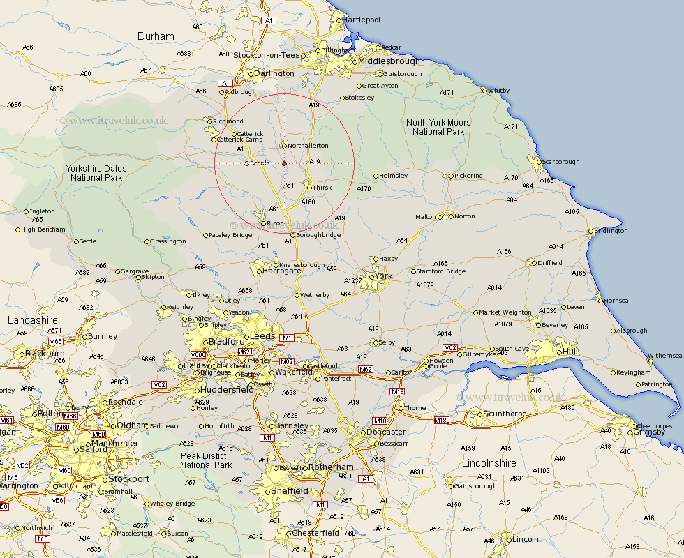
Yorkshire Map Showing Location of Newby Wiske
Population: 174
District: Hambleton
Easting: 436888 Northing: 487683
Latitude: 54.28 Longitude: -1.43
 = Newby Wiske
District: Hambleton
Easting: 436888 Northing: 487683
Latitude: 54.28 Longitude: -1.43
= Newby Wiske
This Newby Wiske map below is supplied by Google. Use the tools in the top left corner to zoom into street level or zoom out for a road map, you may also need to zoom in to see Newby Wiske on the map. Click and drag the map to move around. If the map fails to load try and refresh your browser or zoom in or out (+ or -).
Update - it seems Google no longer allow people to use their maps for free! This Newby Wiske map sometimes loads and sometimes gives a error. I am working on a solution.
Closest 30 Towns or Cities to Newby Wiske (Population over 500)
Northallerton 5.56km Brompton 7.5km Bedale 9.74km Thirsk 9.85km Topcliffe 11.58km Crakehall 12.04km Osmotherley 12.68km West Tanfield 12.68km Tanfield 12.68km Dishforth 14.86km North Cowton 15.02km Scorton 15.51km Masham 15.91km Catterick 15.94km East Cowton 16.19km Cowton 16.19km Grewelthorpe 17.94km Whorlton 19.01km Kirkby Malzeard 19.14km Ripon 19.3km Raskelf 20.5km Boroughbridge 22.34km Ampleforth 22.56km Monkton 22.66km Bishop Monkton 22.66km Middleton 23.07km Middleton upon Leven 23.07km Middleton Tyas 23.25km Richmond 23.38km Easingwold 23.95km