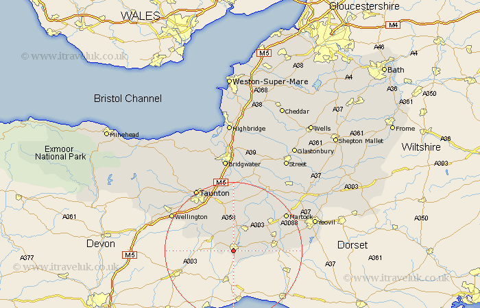
Somerset Map Showing Location of Chard
Population: 10594
Area Size (ha): 295
District: South Somerset
Easting: 331982 Northing: 107973
Latitude: 50.87 Longitude: -2.97
 = Chard
Area Size (ha): 295
District: South Somerset
Easting: 331982 Northing: 107973
Latitude: 50.87 Longitude: -2.97
= Chard
This Chard map below is supplied by Google. Use the tools in the top left corner to zoom into street level or zoom out for a road map, you may also need to zoom in to see Chard on the map. Click and drag the map to move around. If the map fails to load try and refresh your browser or zoom in or out (+ or -).
Update - it seems Google no longer allow people to use their maps for free! This Chard map sometimes loads and sometimes gives a error. I am working on a solution.
Closest 30 Towns or Cities to Chard (Population over 500)
Combe St. Nicholas 4.38km Combe Saint Nicholas 4.38km Combe St Nicholas 4.38km Winsham 5.03km Broadway 7.41km Ilminster 8.19km Ilton 9.9km Misterton 11.7km Crewkerne 11.84km Hatch Beauchamp 13.17km South Petherton 14.91km Fivehead 15.23km Pitminster 15.3km Haselbury Plucknett 15.64km West Chinnock 16.18km North Curry 16.68km Creech St. Michael 17.04km Creech Saint Michael 17.04km Creech St Michael 17.04km Kingsbury 17.45km Kingsbury Episcopi 17.45km Curry Rivel 17.67km Trull 18.17km Stoke St. Gregory 18.67km Stoke Saint Gregory 18.67km Stoke St Gregory 18.67km West Buckland 18.82km Martock 18.82km Montacute 19.82km West Coker 20.64km