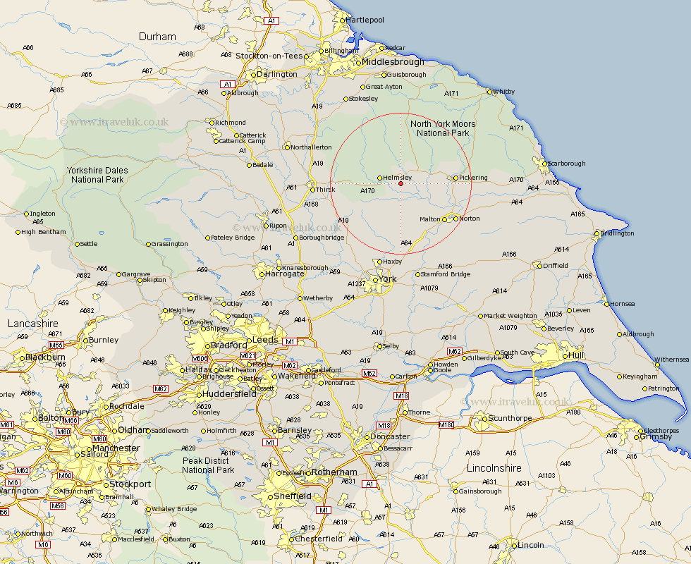
Yorkshire Map Showing Location of Nawton
Population: 551
District: Ryedale
Easting: 466261 Northing: 482450
Latitude: 54.23 Longitude: -0.98
 = Nawton
District: Ryedale
Easting: 466261 Northing: 482450
Latitude: 54.23 Longitude: -0.98
= Nawton
This Nawton map below is supplied by Google. Use the tools in the top left corner to zoom into street level or zoom out for a road map, you may also need to zoom in to see Nawton on the map. Click and drag the map to move around. If the map fails to load try and refresh your browser or zoom in or out (+ or -).
Update - it seems Google no longer allow people to use their maps for free! This Nawton map sometimes loads and sometimes gives a error. I am working on a solution.
Closest 30 Towns or Cities to Nawton (Population over 500)
Kirby Moorside 4.93km Kirkby Moorside 4.93km Helmsley 5.72km Ampleforth 9.43km Slingsby 10.23km Terrington 13.01km Pickering 14.2km Malton 15.84km Sheriff Hutton 16.71km Stillington 17.18km Thornton-le-Dale 17.33km Thornton Dale 17.33km Norton 17.72km Easingwold 19.16km Huby 19.33km Raskelf 20.61km Rillington 20.63km Strensall 20.64km Thirsk 22.83km Alne 23.31km Ingleby 23.49km Tollerton 23.96km Yedingham 24.13km Haxby 24.69km Wigginton 24.69km Shipton 24.75km Osmotherley 25.34km Snainton 26.07km Earswick 26.3km Huntington 26.3km