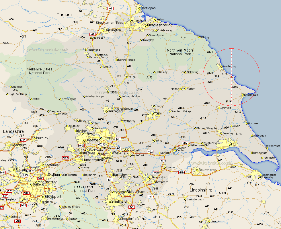
Yorkshire Map Showing Location of Muston
Population: 325
District: Scarborough
Easting: 509752 Northing: 481434
Latitude: 54.22 Longitude: -0.32
 = Muston
District: Scarborough
Easting: 509752 Northing: 481434
Latitude: 54.22 Longitude: -0.32
= Muston
This Muston map below is supplied by Google. Use the tools in the top left corner to zoom into street level or zoom out for a road map, you may also need to zoom in to see Muston on the map. Click and drag the map to move around. If the map fails to load try and refresh your browser or zoom in or out (+ or -).
Update - it seems Google no longer allow people to use their maps for free! This Muston map sometimes loads and sometimes gives a error. I am working on a solution.
Closest 30 Towns or Cities to Muston (Population over 500)
Filey 1.94km Cayton 3.74km Hunmanby 5.56km Eastfield 5.72km Seamer 7.81km Willerby 9.43km Scarborough 10.08km Scalby 10.6km Burniston 13.46km Bempton 13.46km Sherburn 14.15km Cloughton 15.02km Great Driffield 15.04km Brompton 15.17km Bridlington 15.27km Snainton 17.34km Flamborough 18.38km Kilham 18.82km Yedingham 19.6km Nafferton 22.66km Driffield 24.56km Rillington 26.02km Thornton Dale 26.07km Thornton-le-Dale 26.07km Fylingdales 26.31km Beeford 27.99km Skipsea 28.55km Wetwang 29.09km Pickering 29.48km North Frodingham 29.85km