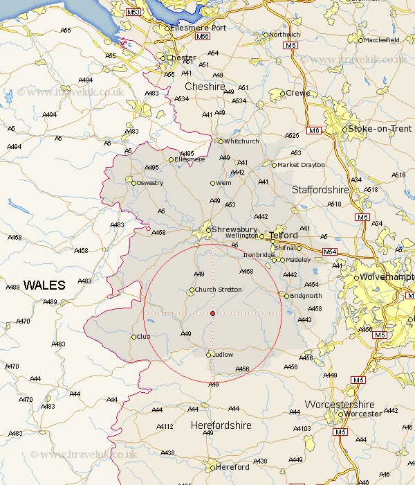
Shropshire Map Showing Location of Munslow
Population: 368
District: South Shropshire
Easting: 351336 Northing: 287546
Latitude: 52.48 Longitude: -2.72
 = Munslow
District: South Shropshire
Easting: 351336 Northing: 287546
Latitude: 52.48 Longitude: -2.72
= Munslow
This Munslow map below is supplied by Google. Use the tools in the top left corner to zoom into street level or zoom out for a road map, you may also need to zoom in to see Munslow on the map. Click and drag the map to move around. If the map fails to load try and refresh your browser or zoom in or out (+ or -).
Update - it seems Google no longer allow people to use their maps for free! This Munslow map sometimes loads and sometimes gives a error. I am working on a solution.
Closest 30 Towns or Cities to Munslow (Population over 500)
Diddlebury 1.85km Rushbury 3.71km Wistanstow 9.22km Church Stretton 9.32km Craven Arms 9.66km Bitterley 10.31km Ditton Priors 10.32km Ludlow 13.01km Caynham 15.21km Lydbury North 15.91km North Lydbury 15.91km Much Wenlock 17.19km Cressage 18km Berrington 18.57km Condover 18.67km Cleobury Mortimer 19.34km Bucknell 20.45km Baystonhill 20.52km Bridgnorth 21.05km Shelve 21.19km Barrow Bridge 21.31km Barrow 21.31km Kinlet 21.64km Broseley 21.66km Pontesbury 21.69km Minsterley 22.2km Clun 22.7km Highley 22.88km Hanwood 23.24km Great Hanwood 23.24km