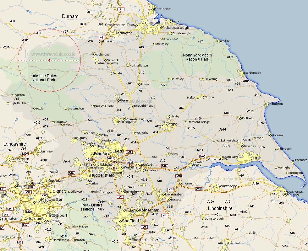
Yorkshire Map Showing Location of Muker
Population: 309
District: Richmondshire
Easting: 391338 Northing: 496822
Latitude: 54.37 Longitude: -2.13
 = Muker
District: Richmondshire
Easting: 391338 Northing: 496822
Latitude: 54.37 Longitude: -2.13
= Muker
This Muker map below is supplied by Google. Use the tools in the top left corner to zoom into street level or zoom out for a road map, you may also need to zoom in to see Muker on the map. Click and drag the map to move around. If the map fails to load try and refresh your browser or zoom in or out (+ or -).
Update - it seems Google no longer allow people to use their maps for free! This Muker map sometimes loads and sometimes gives a error. I am working on a solution.
Closest 30 Towns or Cities to Muker (Population over 500)
Hawes 8.58km Bradley 19.88km Leyburn 21.83km Middleham 22.53km Richmond 26.17km Gilling 27.97km Melsonby 31.87km Catterick 32.39km Ingleton 32.39km Middleton Tyas 32.62km Barton 33.19km Clapham 33.81km Crakehall 34.31km Settle 34.47km Scorton 34.59km Grassington 34.76km Masham 35.53km Threshfield 36.02km Giggleswick 36.27km Burton in Lonsdale 36.73km Bedale 36.85km Grewelthorpe 37.42km North Cowton 37.95km High Bentham 38.04km Bentham 38.04km Kirkby Malzeard 38.47km East Cowton 39.24km Cowton 39.24km Bewerley 39.51km Tanfield 41.19km