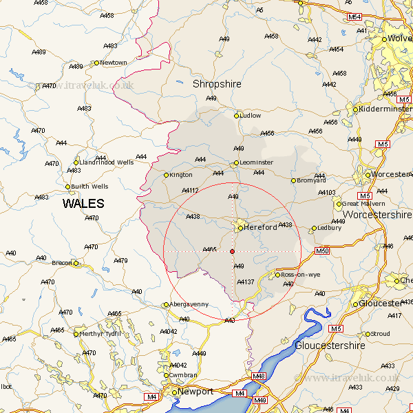
Herefordshire Map Showing Location of Much Dewchurch
Population: 639
Easting: 348498 Northing: 231962
Latitude: 51.98 Longitude: -2.75
 = Much Dewchurch
Easting: 348498 Northing: 231962
Latitude: 51.98 Longitude: -2.75
= Much Dewchurch
This Much Dewchurch map below is supplied by Google. Use the tools in the top left corner to zoom into street level or zoom out for a road map, you may also need to zoom in to see Much Dewchurch on the map. Click and drag the map to move around. If the map fails to load try and refresh your browser or zoom in or out (+ or -).
Update - it seems Google no longer allow people to use their maps for free! This Much Dewchurch map sometimes loads and sometimes gives a error. I am working on a solution.
Closest 30 Towns or Cities to Much Dewchurch (Population over 500)
Much Birch 2.94km Allensmore 4.36km Bullingham 6.01km Kingstone 6.81km Hereford 7.76km Madley 8.82km Ewyas Harold 9.86km Fownhope 10.44km Mordiford 10.9km Broad Oak 11.12km Lugwardine 11.52km Moreton-on-Lugg 13.03km Moreton on Lugg 13.03km Moreton 13.03km Burghill 13.03km Credenhill 13.42km Sutton 13.75km Ross 14.58km Ross on Wye 14.58km Ross-on-wye 14.58km Peterchurch 14.78km Walford 15.15km Withington 15.23km Goodrich 15.87km Whitchurch 16.33km Upton Bishop 16.41km Weston 16.59km Weston under Penyard 16.59km Weston-under-Penyard 16.59km Wellington 16.68km